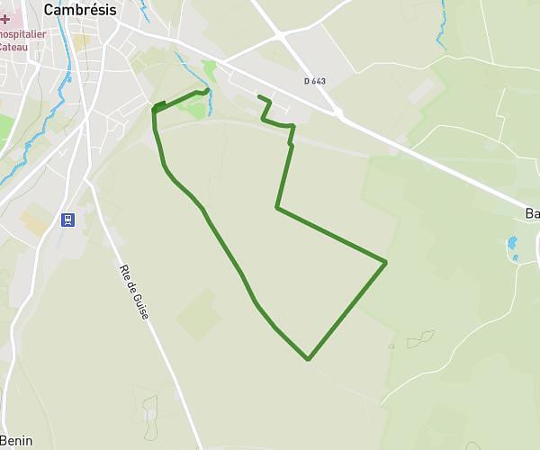
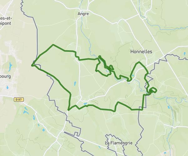
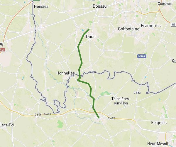
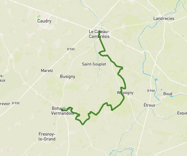
This hiking trail covers 25.116mi starting from Le Cateau-Cambrésis, Nord. The hike does not return to the trailhead and ends near Avenue De Louvignies, 59570 Bavay. This hike is rated as hard, plan for about 8h25m to complete it. The route has an elevation gain of 820ft and an elevation loss of 653ft.
ÉTAPE 9 (ENSEMBLE CONTRE CHARCOT)
Route details
2.98mph
Speed
3571 kcal
Calories burned
1.1%
Avg grade
Point to point
Route type
292ft
Min altitude
581ft
Max altitude
Route profile
820ft
Elevation gain
653ft
Elevation loss
292ft
Min altitude
581ft
Max altitude
How to get there
Trailhead: Place Du Commandant Richez, 59360 Le Cateau-Cambrésis
GPS coordinates of the trailhead: 50.106, 3.54161 / 50°6'21'' N, 3°32'29'' E