This hiking trail covers 186.29mi starting from Vincennes, Paris. The hike does not return to the trailhead and ends near Rue De L'abreuvoir 17, 7387 Honnelles, Hainaut, Belgium. This hike is rated as moderate, plan for about 22h27m to complete it. The route has an elevation gain of 3379ft and an elevation loss of 3304ft.
Description of the route by the creator
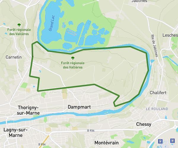
📍stage 1: château de Vincennes ➡️ Villeneuve sous Damartin (41KM) 📍stage 2: Villeneuve sous Damartin ➡️ Ermenonville (18KM) 📍stage 3: Ermenonville ➡️ Béthisy Saint Pierre (28KM) 📍stage 4: Béthisy Saint Pierre ➡️ Compiègne (20KM) 📍stage 5: Compiègne ➡️ Lagny (38KM) 📍étape 6 : Lagny ➡️ Ham (32KM) 📍stage 7: Ham ➡️ Saint Quentin (30KM) 📍stage 8: Saint Quentin ➡️ D'Ohoin en Vermandois (30KM) 📍étape 9: D'Ohoin en Vermandois ➡️ le Coteau Combrésis (19KM) 📍stage 10: le Coteau Combrésis ➡️ Dour (54KM) A total of 310 Kilometers