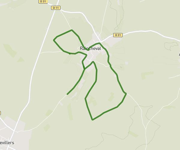
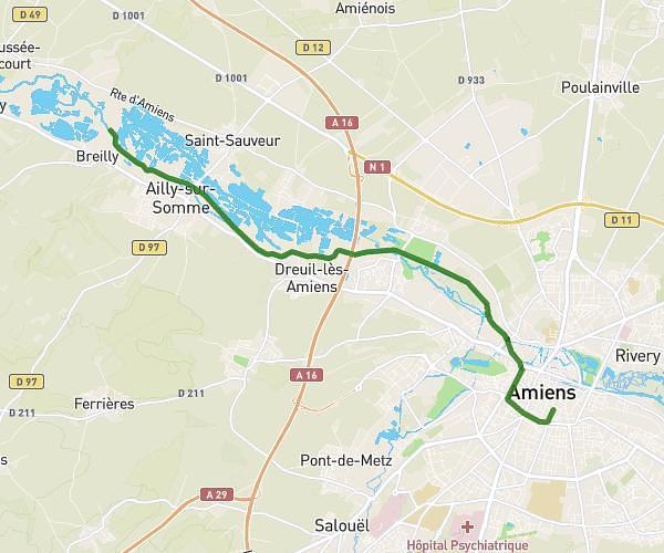
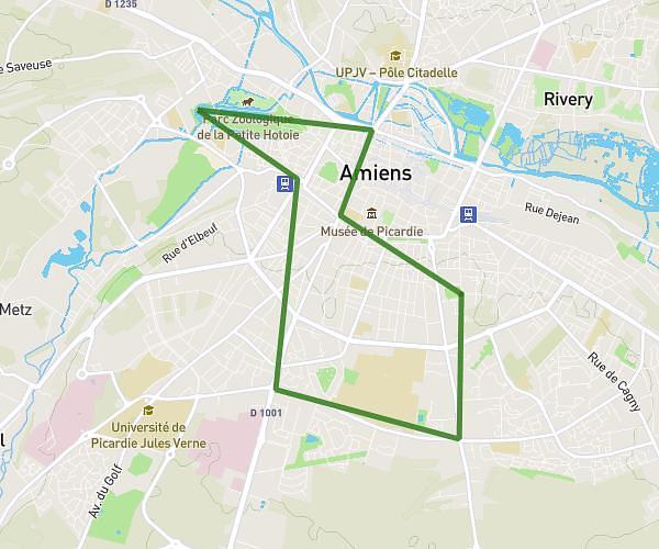
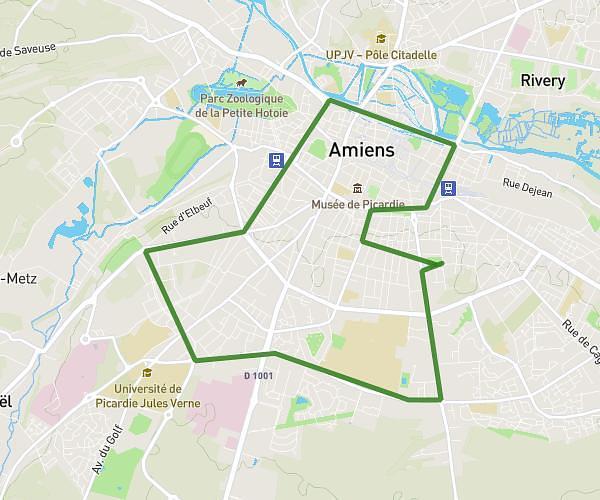
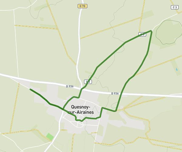
This running route covers 3.465mi starting from Dury, Somme. The run is a loop trail and returns to the trailhead. This run is rated as easy, expect about 37m58s to complete it. The route has an elevation gain of 135ft and an elevation loss of 135ft.
running mid
Route details
5.47mph
Speed
434 kcal
Calories burned
Loop trail
Route type
312ft
Min altitude
367ft
Max altitude
Route profile
135ft
Elevation gain
135ft
Elevation loss
312ft
Min altitude
367ft
Max altitude
How to get there
Trailhead: 13 Rue Ludwig Straub, 80480 Dury, France
GPS coordinates of the trailhead: 49.845804, 2.266374 / 49°50'44'' N, 2°15'58'' E