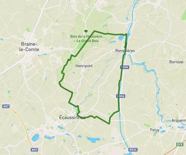
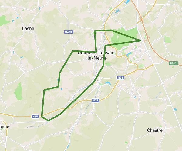
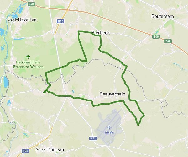
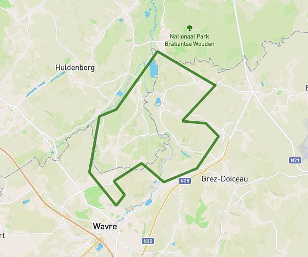
This hiking trail covers 21.831mi starting from Brussels, Brussels-Capital. The hike does not return to the trailhead and ends near Bruyère Du Wez, 1390 Grez-Doiceau. This hike is rated as hard, plan for about 7h to complete it. The route has an elevation gain of 814ft and an elevation loss of 804ft.
La Bruxelloise
Route details
3.12mph
Speed
2975 kcal
Calories burned
1.4%
Avg grade
Point to point
Route type
85ft
Min altitude
315ft
Max altitude
Route profile
814ft
Elevation gain
804ft
Elevation loss
85ft
Min altitude
315ft
Max altitude
How to get there
Trailhead: Boulevard De L'impératrice - Keizerinlaan, 1000 Brussels
GPS coordinates of the trailhead: 50.84659, 4.35682 / 50°50'47'' N, 4°21'24'' E