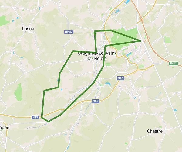
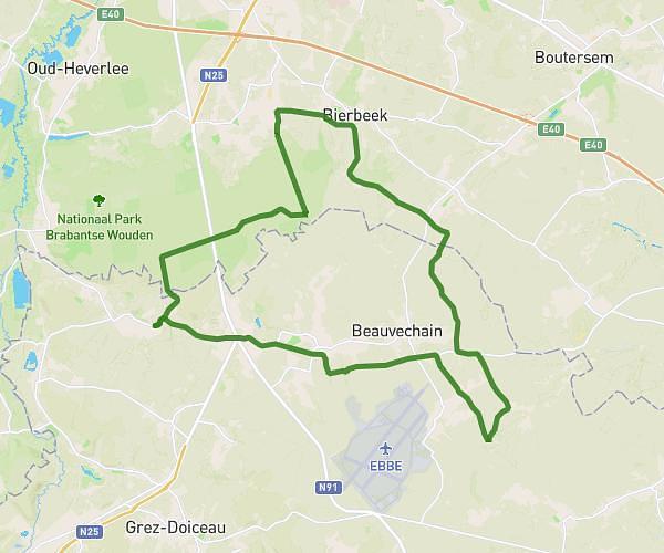
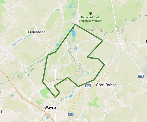
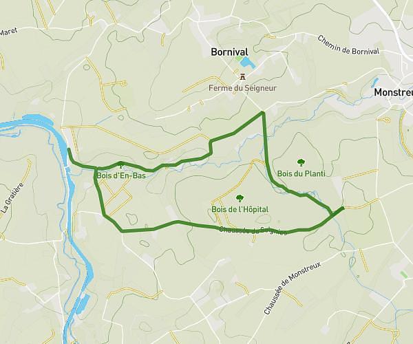
Explore this hiking route of 35.13km starting from Brussels, Brussels-Capital. The hike does not return to the starting point and ends near Bruyère Du Wez, 1390 Grez-Doiceau. This hike has no defined difficulty level, plan for about 7h to complete it. The route has a positive elevation gain of 248m and a negative elevation loss of 245m.
La Bruxelloise
Route details
Route profile
248m
Elevation +
245m
Elevation -
26m
Min altitude
96m
Max altitude
How to get there
Route starting point: Boulevard De L'impératrice - Keizerinlaan, 1000 Brussels
GPS coordinates of the starting point: 50.84659, 4.35682 / 50°50'47'' N, 4°21'24'' E
Calculate the time to reach the starting point from your location or an address