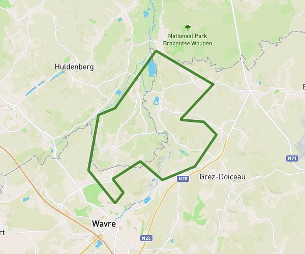
Explore this hiking route of 31.06km starting from Grez-Doiceau, Walloon Brabant. The hike is a loop and returns to the starting point. This hike has no defined difficulty level, plan for about 6h to complete it. The route has a positive elevation gain of 15m and a negative elevation loss of 61m.
La Vice et Versa
Route details
Route profile
15m
Elevation +
61m
Elevation -
42m
Min altitude
96m
Max altitude
How to get there
Route starting point: Rue De Hamme-Mille, 1390 Grez-Doiceau
GPS coordinates of the starting point: 50.78211, 4.68923 / 50°46'55'' N, 4°41'21'' E
Calculate the time to reach the starting point from your location or an address