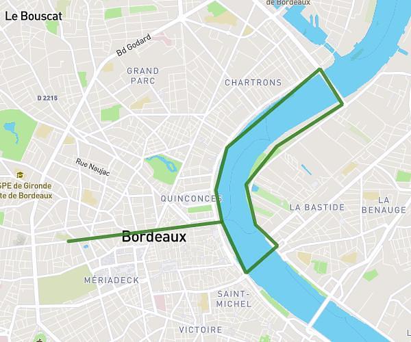
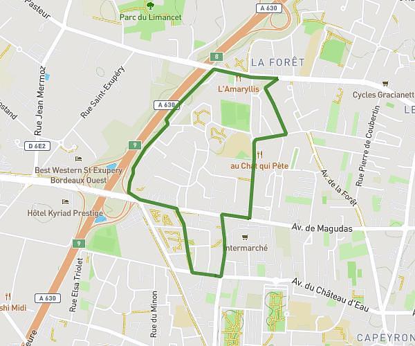
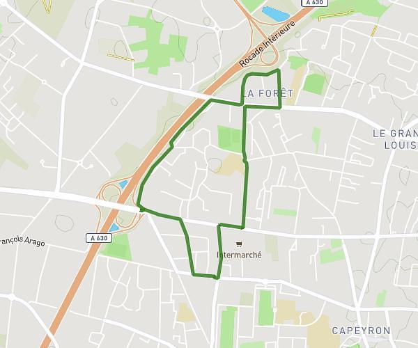
This running route covers 5.883mi starting from Floirac, Gironde. The run does not return to the trailhead and ends near Chemin De Tirecul, 33270 Floirac. This run is rated as moderate, expect about 57m to complete it. The route has an elevation gain of 131ft and an elevation loss of 105ft.
S3 semaine 2
Route details
6.2mph
Speed
652 kcal
Calories burned
Point to point
Route type
82ft
Min altitude
197ft
Max altitude
Route profile
131ft
Elevation gain
105ft
Elevation loss
82ft
Min altitude
197ft
Max altitude
How to get there
Trailhead: Impasse De La Maternelle, 33270 Floirac
GPS coordinates of the trailhead: 44.83069, -0.52919 / 44°49'50'' N, 0°31'45'' W