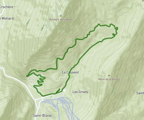
This running route covers 6.721mi starting from Albertville, Savoie. The run is a loop trail and returns to the trailhead. This run is rated as moderate, expect about 1h5m to complete it. The route has an elevation gain of 220ft and an elevation loss of 220ft.
PARCOURS BOULOT
Route details
6.2mph
Speed
743 kcal
Calories burned
Loop trail
Route type
1079ft
Min altitude
1148ft
Max altitude
Route profile
220ft
Elevation gain
220ft
Elevation loss
1079ft
Min altitude
1148ft
Max altitude
How to get there
Trailhead: 9 Rue Pasteur, 73200 Albertville, France
GPS coordinates of the trailhead: 45.67014, 6.38885 / 45°40'12'' N, 6°23'19'' E