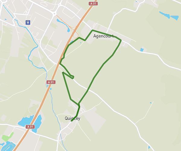
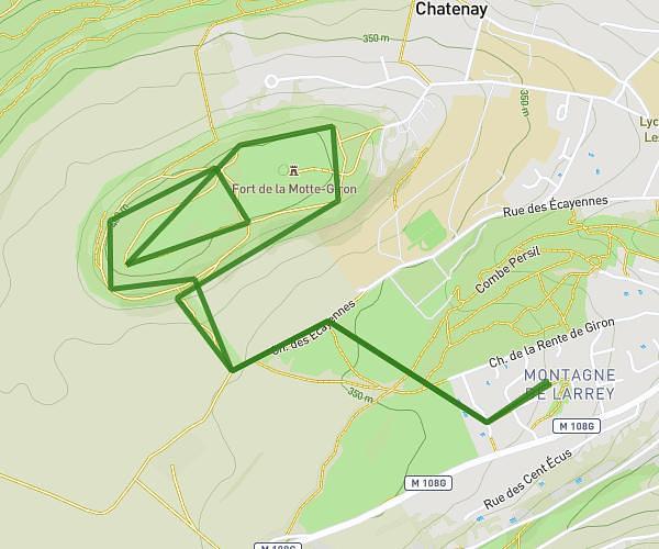
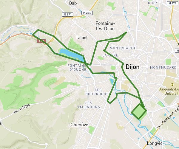
This running route covers 9.823mi starting from Corcelles-les-Monts, Côte-d'Or. The run is a loop trail and returns to the trailhead. This run is rated as moderate, expect about 2h2m to complete it. The route has an elevation gain of 328ft and an elevation loss of 620ft.
Corcelles
Route details
4.83mph
Speed
1395 kcal
Calories burned
Loop trail
Route type
1152ft
Min altitude
1739ft
Max altitude
Route profile
328ft
Elevation gain
620ft
Elevation loss
1152ft
Min altitude
1739ft
Max altitude
How to get there
Trailhead: 1 Rue Saint-Antoine, 21160 Corcelles-les-Monts, France
GPS coordinates of the trailhead: 47.29595, 4.93983 / 47°17'45'' N, 4°56'23'' E