We're proud to launch MapPlanner subscriptions, giving you access to even more features with unlimited use!
Subscribing to the Explorer version allows you to :
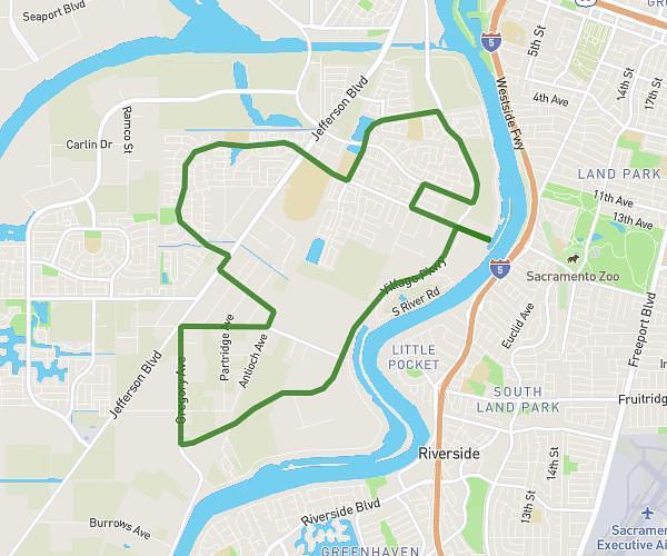
- Explore and create your own unlimited routes!
- Choose from a range of mapping styles: display elevation changes, terrain shadows, etc.

- Benefit from maps adapted to each of your activities: paths, parking lots, orientation points, contour lines, water points, etc.
- Select the type of route to follow automatically according to your activity: running, hiking, cycling, mountain biking and road biking.
- Import and export your routes (unlimited) in GPX, TCX, KML and FIT from a file or your connected watch, with heart rate display if available.
- Track your position on the map in real time and calculate distance, elevation gain and estimated time to your finish.
- Plan your future outings by listing them directly on the map.
- Enjoy fast access from the home page on your smartphone (like a PWA application).
At the same time, the site continues to evolve:
- Improved contour lines on the map: calculation of vertical drop every 25m with the most accurate data possible (EU-DEM European mapping system).
- More precise mountain map style to better differentiate different types of terrain (field, scree, glacier, etc.).
- Automatic track selection: walking/jogging, hiking, biking and mountain biking.
Last but not least, new features are under development and will soon be available on the site:
- Reachable distance from a point: do you have 2 hours for your outing? Display on the map all the places accessible from a starting point.
- Display your route directly on your site: integrate the map with your route directly on your site.
- 3D view of your route: visualize your route in 3D: walk your route in a relief view. See mountains, valleys and ridges as they really are.
Benefit from a 33% discount during the launch period! Pay securely with our payment partners Stripe/CB or PayPal.