Back to the blog

Version 1.1 of MapPlanner

Published on Oct 21, 2021

Following your feedback, new features have been added to explore and create more easily your routes and itineraries (walking courses, hiking, ...).

New features for MapPlanner

New languages available

The site is now translated in 5 languages:

  • French
  • English
  • German
  • Italian
  • Spanish

If you see any translation errors, please let us know :)
In addition, each course description is also automatically translated to facilitate its understanding in other countries.

Site available in PWA

This technology allows you to install the site (through Chrome Mobile) as a mobile application on your smartphone. You can then launch the site directly from your list of applications.
This also allows you to consult the route even if you don't have a network! Remember to visit the route on your phone before leaving to save it with the map.
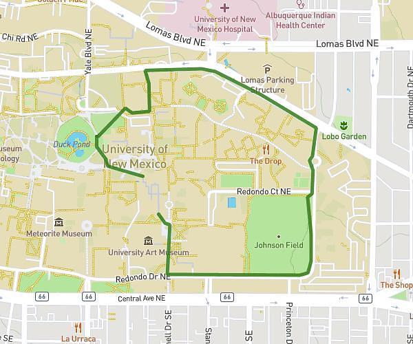
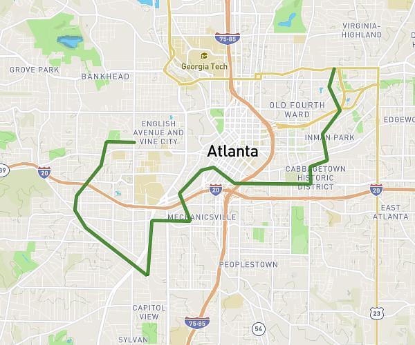
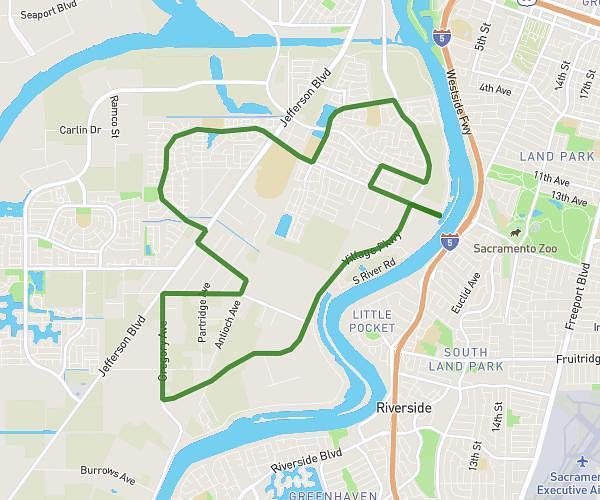
 

Plan your own route

MapPlanner helps you calculate distances, elevation, duration and plan your hikes, runs and bike rides on an interactive map.

  • Automatic distance & elevation calculation
  • Topographic, satellite maps
  • GPX/KML export for your GPS
  • Real-time GPS tracking

New features for the rides

Locate your position

Under each route map, you can geo-locate yourself to know your current position in relation to the route. Moreover, once located, another button appears to follow your position in real time with your orientation!
You can then follow your location live and check if you are following the planned path.


Weather forecast

A new button appears in the route sheet: display the weather forecast.
With the help of open-meteo, you can check the weather forecast for the next 7 days. And above all, know the temperature and precipitation to avoid surprises.

Comments

For all public routes, other users will be able to add comments on your route. This will allow you to give details about the difficulty, the changes of indication, ...


Break time

You can now indicate a pause time when adding a route or a performance. This time will be deducted from the total time for the calculation of your performances.
This makes it easier to indicate the total time and the break will be automatically deducted.


New search features

Dedicated page for search

A specific page to search for routes and trips has been added.
You can now select different criteria:

  • Find a route by location or keywords
  • Display the routes around your current position
  • Filter the routes by difficulty level, time or distance

Try all features for free

Get 7 days of free trial with full access to all Explorer features. No commitment — discover route planning, GPS tracking, unlimited exports and much more.

  • Unlimited route planning
  • Real-time GPS position
  • Unlimited GPX/KML/FIT exports
  • Import files from your GPS devices

Related articles

Article Jun 21, 2024

MapPlanner version 3.0

Thanks to your support, MapPlanner continues to grow, with the milestone of 50,000 unique visitors per month well exceeded! This new version features a brand-new interface, making it even easier...

Read more →

What our Explorer users say

⭐⭐⭐⭐⭐

Thanks to MapPlanner, I planned an 8 km jogging route around my home in just a few minutes. The distance and estimated time were perfect for my morning run before work.

Claire M. New jogger
⭐⭐⭐⭐⭐

With the isochrone mode, I can plan my hikes in no time! I instantly see where I can go with my available time. The GPS tracking is great to make sure I never get lost in the mountains.

Marie L. Passionate hiker
⭐⭐⭐⭐⭐

We prepared a 40 km cycling loop with friends and exported the GPX track. Everyone followed the same route on their watch without getting lost. Perfect organization!

Julien R. Sunday bike ride
⭐⭐⭐⭐⭐

Before a forest hike, I checked the elevation and duration. The route followed real trails, which saved me from unpleasant surprises. Very reliable!

Sophie L. Beginner hiker
⭐⭐⭐⭐⭐

I wanted an easy walk for my kids. I set a short maximum distance and MapPlanner helped me create the perfect loop. We had a wonderful family moment.

Nicolas D. Family outing
⭐⭐⭐⭐⭐

I love planning my outings in advance. I saved several routes for the weekends. It saves me so much time.

Martine G. Occasional hiker
⭐⭐⭐⭐⭐

By exploring the routes around my home, I discovered great paths I didn’t know at all. MapPlanner opened new areas for me to explore.

Olivier P. Route discovery
⭐⭐⭐⭐⭐

I keep an eye on my progress thanks to the history feature. I compare my running speed and distance over the months — it’s motivating!

Anaïs T. Performance tracking
⭐⭐⭐⭐⭐

For our MTB club outing, we created the route and sent the GPX to everyone. Result: no one got separated, the whole group stayed together from start to finish.

Romain B. Club activity
⭐⭐⭐⭐⭐

I love taking photos while hiking. MapPlanner automatically places my pictures on the map. It’s fantastic to review the route and share it with friends.

Laetitia F. Discovery outing
⭐⭐⭐⭐⭐

Depending on the activity, I switch the map style: topo for the mountains, street for the city, satellite to spot areas. It makes preparation super intuitive.

Hugo S. Experienced hiker
⭐⭐⭐⭐⭐

MapPlanner now estimates my times based on my own pace. I know exactly how long my next outing will take. Perfect for last-minute planning.

Isabelle J. Aspiring jogger