Thanks to your support, MapPlanner continues to grow, with the milestone of 50,000 unique visitors per month well exceeded!
This new version features a brand-new interface, making it even easier to calculate your rides.
Simplified interface
The entire interface has been redesigned to better highlight the most important elements for creating your routes.
You can now concentrate 100% on the map and have all the tools at your disposal (automatic route, type of route to follow, undo last action, return to starting point, etc.).
The elevation adapts to your route
In addition, the diffrence in altitude calculation now follows the map route, and will be recalculated for each new point.
All the relevant information (highest and lowest points, total elevation) is displayed directly below the graph, so you can get a better idea of the difficulty of the route.
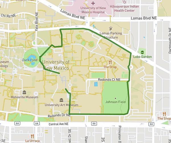
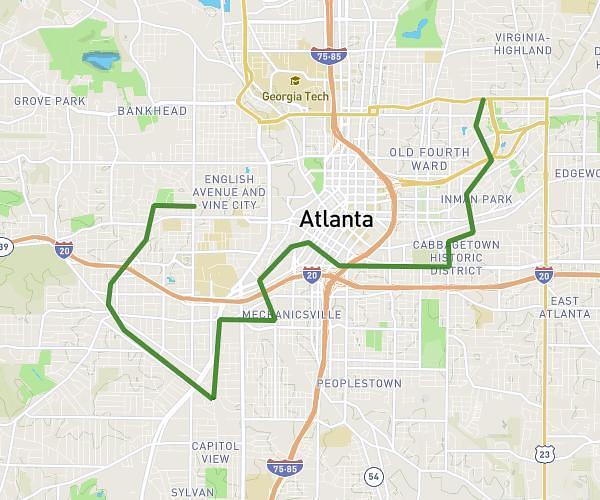
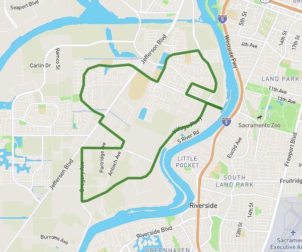
Plan your own route
MapPlanner helps you calculate distances, elevation, duration and plan your hikes, runs and bike rides on an interactive map.
- Automatic distance & elevation calculation
- Topographic, satellite maps
- GPX/KML export for your GPS
- Real-time GPS tracking
A single map for the whole world
To provide you with consistent data worldwide, default mapping is now available for all countries.
The map style has been specially developed to focus on the elements that are important for your jogging, cycling or hiking trips.
Last but not least, the map data is regularly updated to bring you the latest changes (new roads or trails, ...).
Dynamic contour lines
The contour lines have been updated with more accurate plotting.
They now adapt to the chosen unit (km or mi).
Want to calculate your distance travelled in km or mi?
Nothing could be simpler, thanks to the dynamic change of units. You can choose between kilometers and miles with a single click.
Following numerous requests, unit management is now totally dynamic.
All data displayed on the site (distance, speed, etc.) are now automatically changed to the selected unit.
What's more, all information displayed on the map (such as contour lines or peaks) dynamically adapt to display in meters or feet.