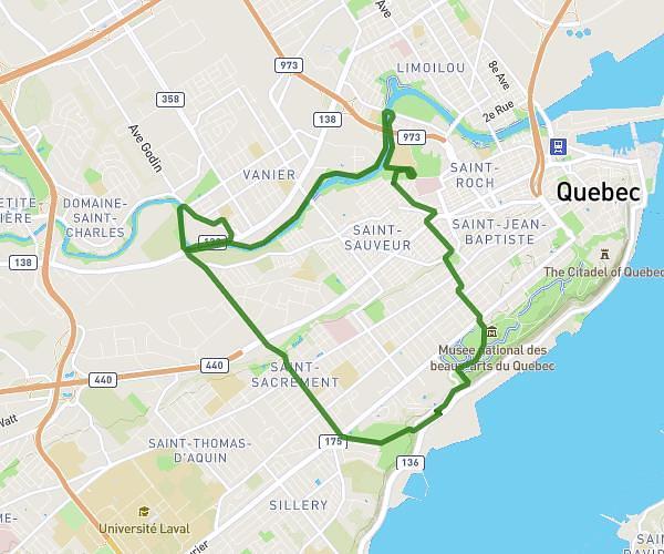
This running route covers 7.635mi starting from Québec, Quebec. The run is a loop trail and returns to the trailhead. This run is rated as hard, expect about 1h14m to complete it. The route has an elevation gain of 285ft and an elevation loss of 295ft.
test
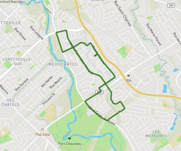
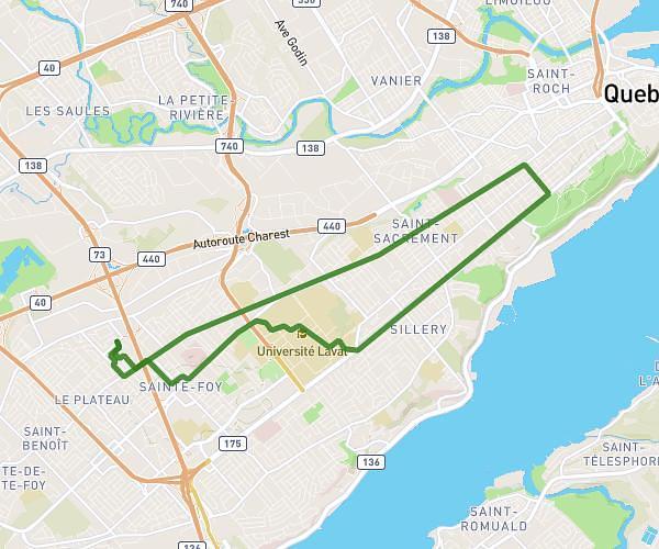
Route details
6.19mph
Speed
846 kcal
Calories burned
Loop trail
Route type
351ft
Min altitude
643ft
Max altitude
Route profile
285ft
Elevation gain
295ft
Elevation loss
351ft
Min altitude
643ft
Max altitude
How to get there
Trailhead: Avenue De L'orignal, G1G 6T3 Québec
GPS coordinates of the trailhead: 46.88278, -71.29662 / 46°52'58'' N, 71°17'47'' W