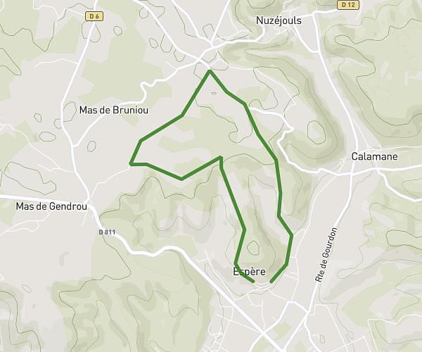
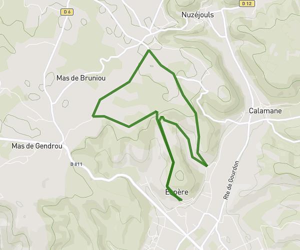
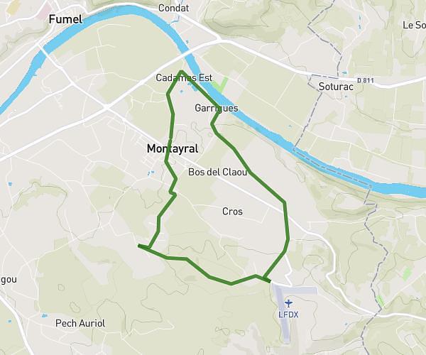
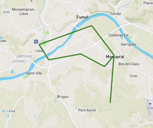
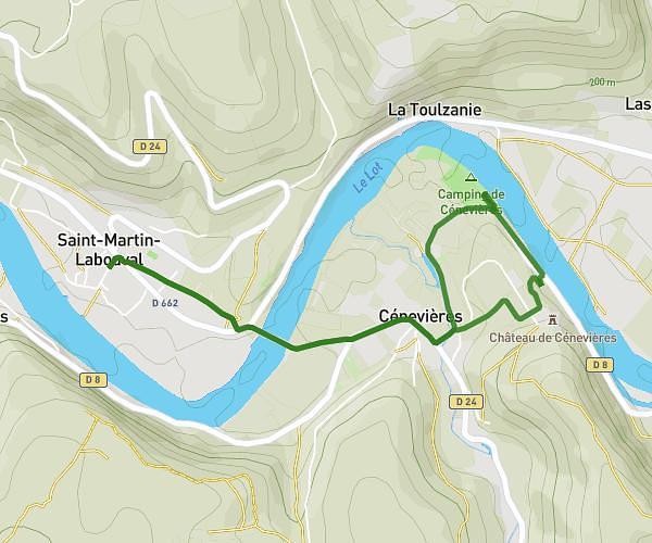
This running route covers 12.835mi starting from Luzech, Lot. The run does not return to the trailhead and ends near 35 Rue Feydel, 46000 Cahors, France. This run is rated as strenuous, expect about 2h30m to complete it. The route has an elevation gain of 1654ft and an elevation loss of 2001ft.
Direction cahors
Route details
5.13mph
Speed
1715 kcal
Calories burned
Point to point
Route type
328ft
Min altitude
968ft
Max altitude
Route profile
1654ft
Elevation gain
2001ft
Elevation loss
328ft
Min altitude
968ft
Max altitude
How to get there
Trailhead: Route De Calvignac/Route Du Champs Du Lac, 46140 Luzech, France
GPS coordinates of the trailhead: 44.50617, 1.28396 / 44°30'22'' N, 1°17'2'' E