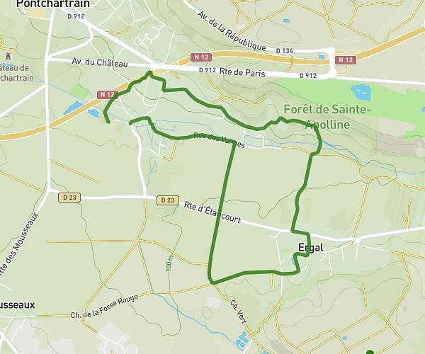
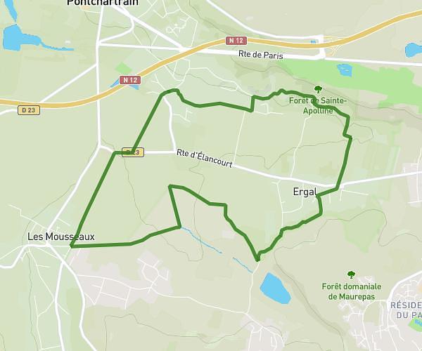
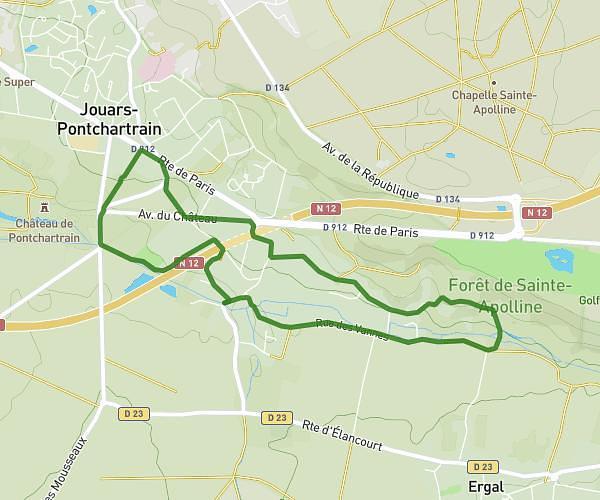
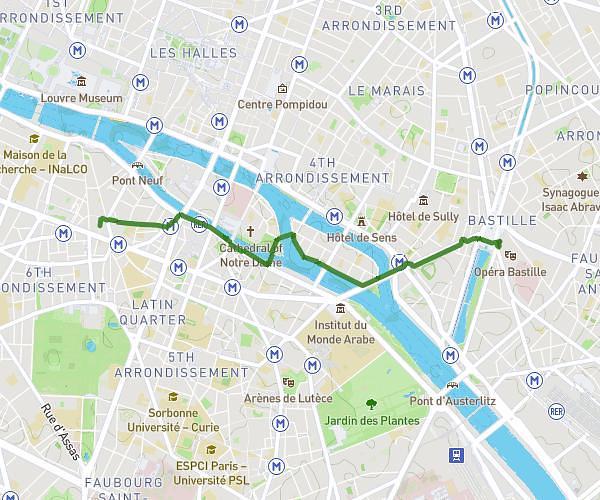
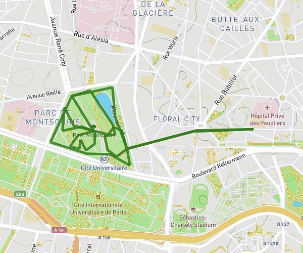
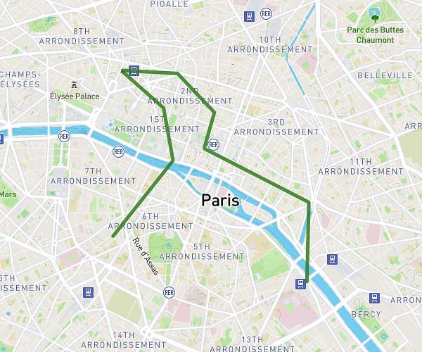
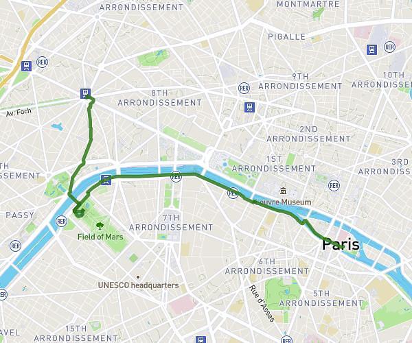
This walking route covers 4.634mi starting from Île-de-France, Paris. The walk does not return to the trailhead and ends near Quai Des Grands Augustins, 75006 Paris. This walk is rated as moderate, plan for about 7h to complete it. The route has an elevation gain of 528ft and an elevation loss of 600ft.
Visite du vendredi
Route details
Pace
1715 kcal
Calories burned
Point to point
Route type
92ft
Min altitude
210ft
Max altitude
Route profile
528ft
Elevation gain
600ft
Elevation loss
92ft
Min altitude
210ft
Max altitude
How to get there
Trailhead: Avenue Des Champs-Élysées, 75008 Paris
GPS coordinates of the trailhead: 48.8734, 2.29598 / 48°52'24'' N, 2°17'45'' E