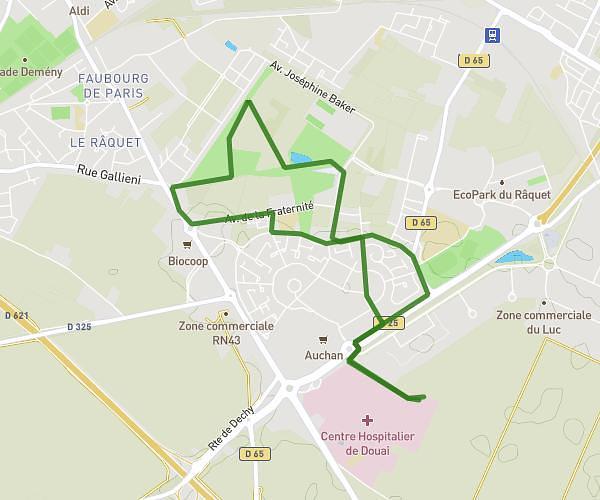
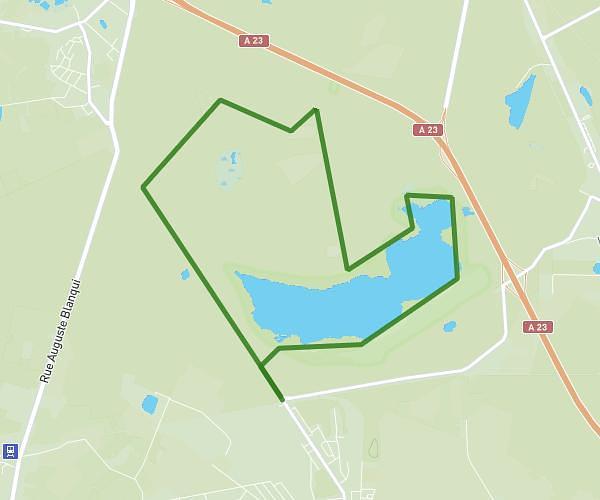
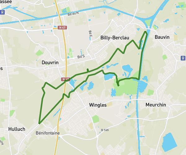
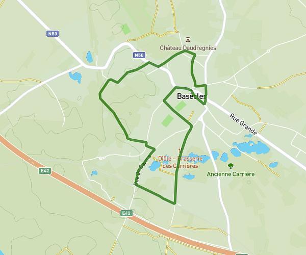
This hiking trail covers 3.466mi starting from Beuvry-la-Forêt, Nord. The hike is a loop trail and returns to the trailhead. This hike is rated as easy, plan for about 29m to complete it. The route has an elevation gain of 121ft and an elevation loss of 121ft.
BEUVRY-BEUVRY
Route details
7.17mph
Speed
205 kcal
Calories burned
1.3%
Avg grade
Loop trail
Route type
62ft
Min altitude
105ft
Max altitude
Route profile
121ft
Elevation gain
121ft
Elevation loss
62ft
Min altitude
105ft
Max altitude
How to get there
Trailhead: 935 Rue Albert Riquier, 59310 Beuvry-la-Forêt, France
GPS coordinates of the trailhead: 50.46015, 3.28157 / 50°27'36'' N, 3°16'53'' E