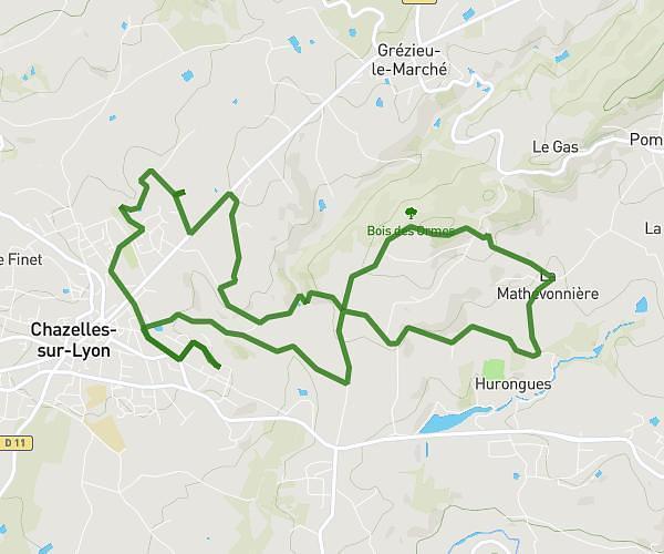
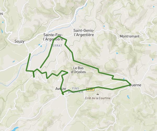
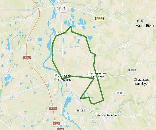
This cycling route covers 8.732mi starting from Saint-Étienne, Loire. The ride does not return to the trailhead and ends near A 72, 42000 Saint-Étienne, France. This route is rated as moderate, plan for about 53m to complete it. The route has an elevation gain of 656ft and an elevation loss of 709ft.
Zboub tour
Route details
473 kcal
Calories burned
3.0%
Avg grade
Point to point
Route type
1568ft
Min altitude
1729ft
Max altitude
Route profile
656ft
Elevation gain
709ft
Elevation loss
1568ft
Min altitude
1729ft
Max altitude
How to get there
Trailhead: 83 Rue De Molina, 42000 Saint-Étienne, France
GPS coordinates of the trailhead: 45.463243, 4.405766 / 45°27'47'' N, 4°24'20'' E