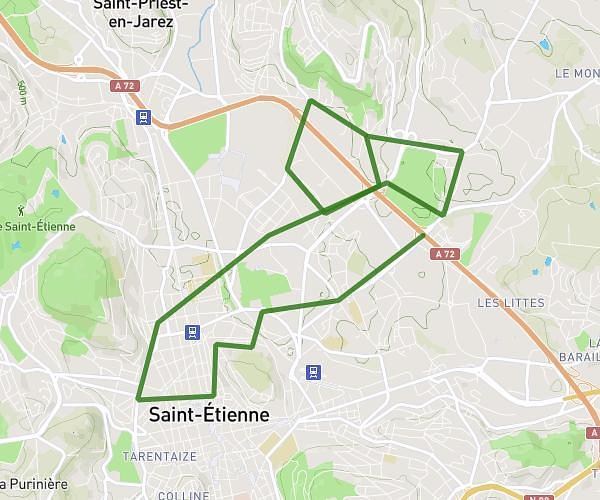
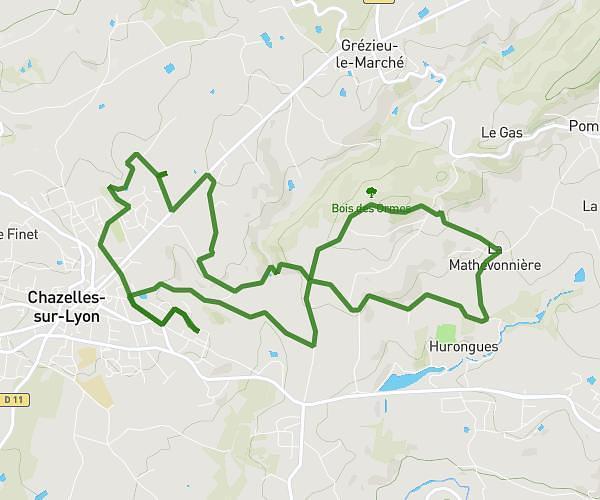
This cycling route covers 24.389mi starting from Bellegarde-en-Forez, Loire. The ride is a loop trail and returns to the trailhead. This route is rated as moderate, plan for about 2h27m to complete it. The route has an elevation gain of 217ft and an elevation loss of 190ft.
Vélo Feurs Montrond
Route details
1289 kcal
Calories burned
0.3%
Avg grade
Loop trail
Route type
1119ft
Min altitude
1325ft
Max altitude
Route profile
217ft
Elevation gain
190ft
Elevation loss
1119ft
Min altitude
1325ft
Max altitude
How to get there
Trailhead: 43a Chemin De La Haute Vange, 42210 Bellegarde-en-Forez, France
GPS coordinates of the trailhead: 45.63632, 4.30143 / 45°38'10'' N, 4°18'5'' E