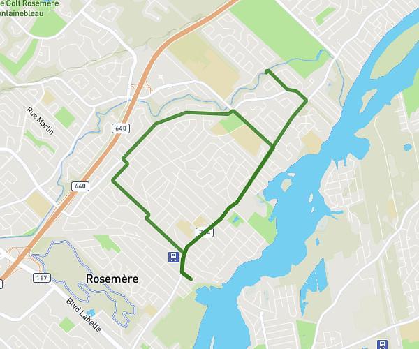
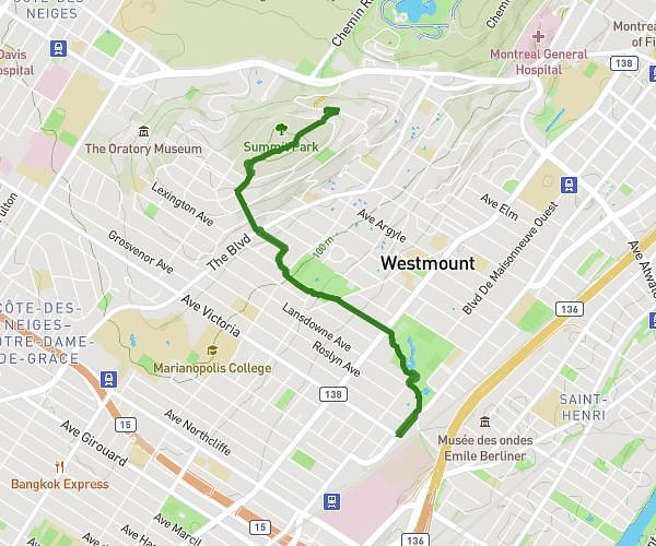
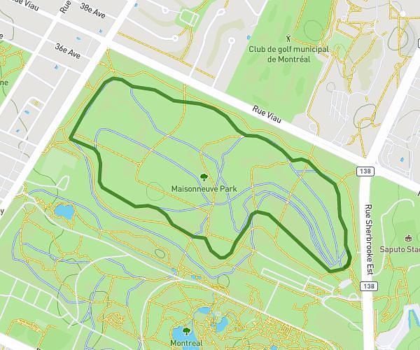
This running route covers 9.375mi starting from Montréal, Quebec. The run does not return to the trailhead and ends near 8890 Boulevard Gouin Est, Montréal, Quebec H1E 1C4, Canada. This run is rated as hard, expect about 1h30m to complete it. The route has an elevation gain of 0ft and an elevation loss of 26ft.
Sortie 3h aller-retour
Route details
6.25mph
Speed
1029 kcal
Calories burned
Point to point
Route type
39ft
Min altitude
66ft
Max altitude
Route profile
0ft
Elevation gain
26ft
Elevation loss
39ft
Min altitude
66ft
Max altitude
How to get there
Trailhead: 10662 Rue Berri, Montréal, Quebec H3L 2H1, Canada
GPS coordinates of the trailhead: 45.55447, -73.6685 / 45°33'16'' N, 73°40'6'' W