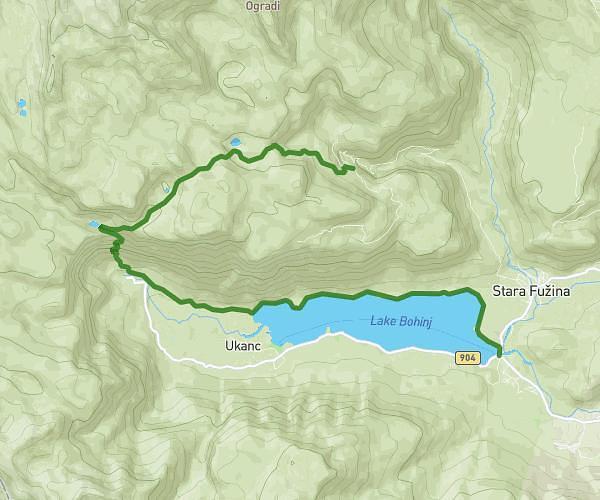
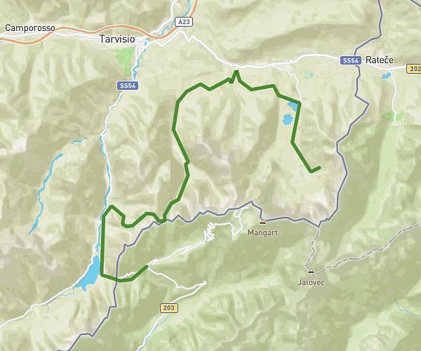
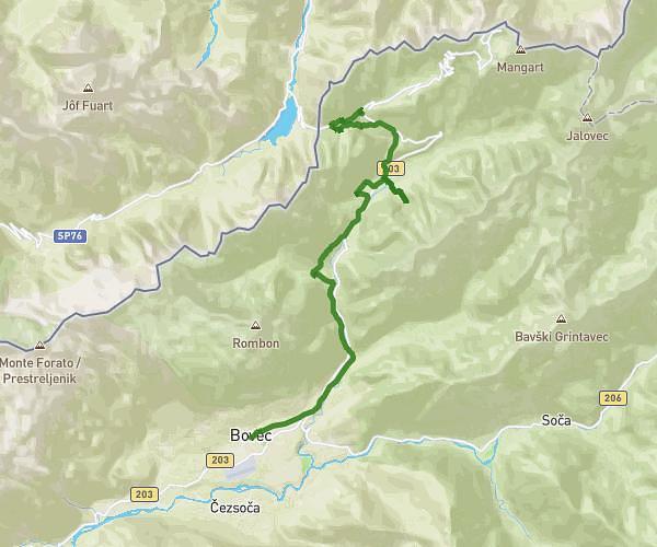
Explore this hiking route of 15.61km starting from . The hike does not return to the starting point and ends near 203, 5231 Bovec, Slovenia. This hike has no defined difficulty level, plan for about 3h7m to complete it. The route has a positive elevation gain of 726m and a negative elevation loss of 578m.
bovec-log pod mangartom
Route details
Route profile
726m
Elevation +
578m
Elevation -
455m
Min altitude
848m
Max altitude
How to get there
Route starting point:
GPS coordinates of the starting point: 46.33797, 13.55248 / 46°20'16'' N, 13°33'8'' E
Calculate the time to reach the starting point from your location or an address