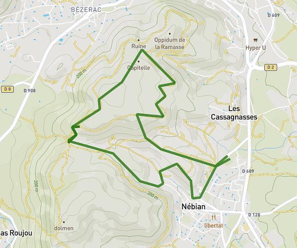
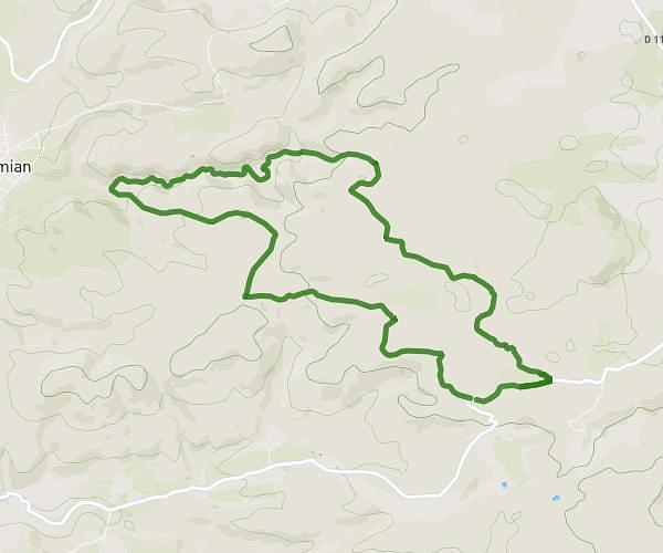
This hiking trail covers 4.742mi starting from Mourèze, Hérault. The hike is a loop trail and returns to the trailhead. This hike is rated as hard, plan for about 4h to complete it. The route has an elevation gain of 1207ft and an elevation loss of 1207ft.
Cirque de Mourèze
Route details
1.19mph
Speed
1815 kcal
Calories burned
9.6%
Avg grade
Loop trail
Route type
656ft
Min altitude
1667ft
Max altitude
Steep climb
Route profile
1207ft
Elevation gain
1207ft
Elevation loss
656ft
Min altitude
1667ft
Max altitude
How to get there
Trailhead: 2 Route De La Dolomie, 34800 Mourèze, France
GPS coordinates of the trailhead: 43.61722, 3.36109 / 43°37'1'' N, 3°21'39'' E