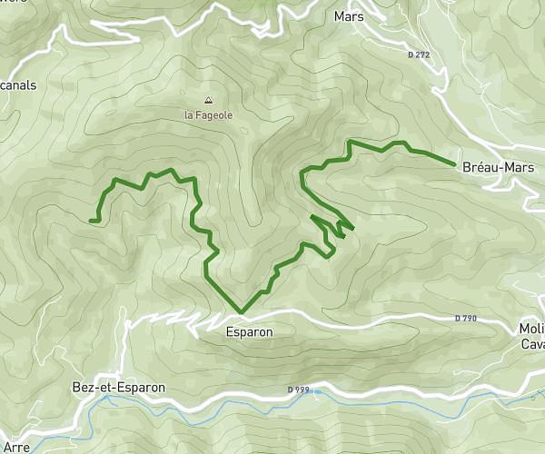
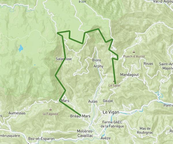
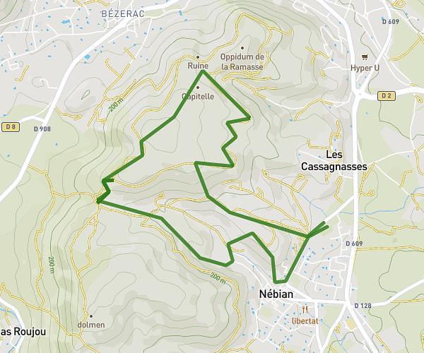
This hiking trail covers 10.007mi starting from La Vacquerie-et-Saint-Martin-de-Castries, Hérault. The hike does not return to the trailhead and ends near 11 Rue De La Font Du Four, 34150 Saint-Guilhem-le-Désert, France. This hike is rated as strenuous, plan for about 4h1m to complete it. The route has an elevation gain of 1886ft and an elevation loss of 3432ft.
Vacquerie st Guilhem
Route details
2.49mph
Speed
1791 kcal
Calories burned
10.1%
Avg grade
Point to point
Route type
554ft
Min altitude
2333ft
Max altitude
Steep climb
Route profile
1886ft
Elevation gain
3432ft
Elevation loss
554ft
Min altitude
2333ft
Max altitude
How to get there
Trailhead: Chemin Du Moulin À Vent, 34520 La Vacquerie-et-Saint-Martin-de-Castries, France
GPS coordinates of the trailhead: 43.789635, 3.462636 / 43°47'22'' N, 3°27'45'' E