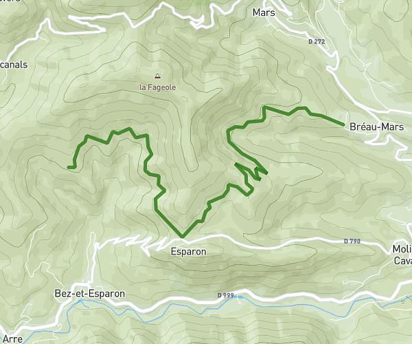
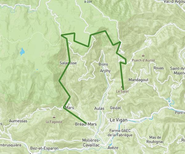
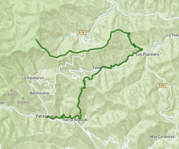
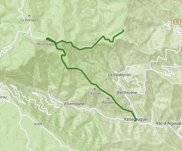
This hiking trail covers 17.903mi starting from Le Vigan, Gard. The hike does not return to the trailhead and ends near 1 Chemin Du Bosc, 30120 Bez-et-Esparon, France. This hike is rated as strenuous, plan for about 3h38m to complete it. The route has an elevation gain of 4724ft and an elevation loss of 4852ft.
cévennes 2
Route details
4.93mph
Speed
1653 kcal
Calories burned
10.1%
Avg grade
Point to point
Route type
738ft
Min altitude
2421ft
Max altitude
Steep climb
Route profile
4724ft
Elevation gain
4852ft
Elevation loss
738ft
Min altitude
2421ft
Max altitude
How to get there
Trailhead: 2836 Route Des Mourèzes, 30120 Le Vigan, France
GPS coordinates of the trailhead: 44.008421, 3.609071 / 44°0'30'' N, 3°36'32'' E