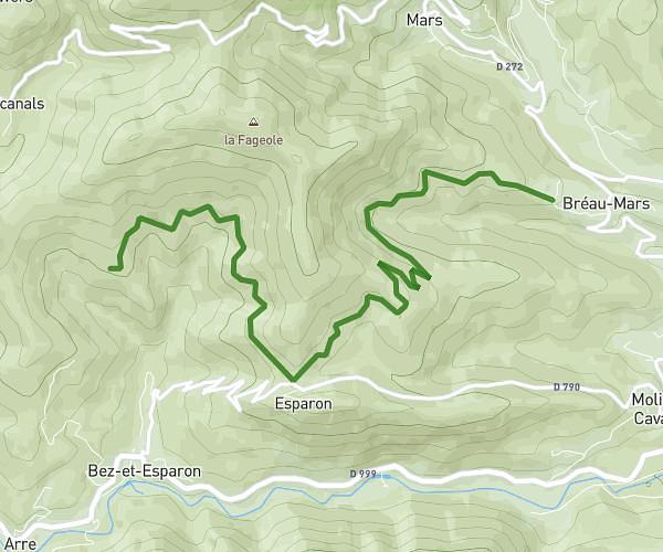
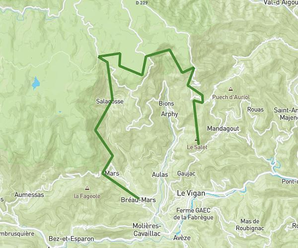
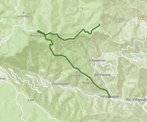
This hiking trail covers 15.27mi starting from Bassurels, Lozère. The hike does not return to the trailhead and ends near 16 Rue Du Luxembourg, 30570 Val-d'Aigoual, France. This hike is rated as strenuous, plan for about 8h15m to complete it. The route has an elevation gain of 3501ft and an elevation loss of 5443ft.
Aire de Cote - Fontfouillouse - Valleraugue
Route details
1.85mph
Speed
3716 kcal
Calories burned
11.1%
Avg grade
Point to point
Route type
1424ft
Min altitude
3583ft
Max altitude
Steep climb
Route profile
3501ft
Elevation gain
5443ft
Elevation loss
1424ft
Min altitude
3583ft
Max altitude
How to get there
Trailhead: 48400, Bassurels, Lozère, France
GPS coordinates of the trailhead: 44.125323, 3.633757 / 44°7'31'' N, 3°38'1'' E