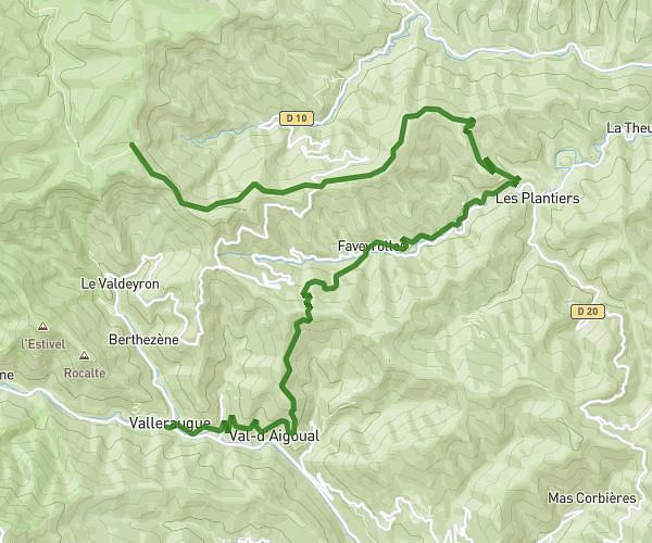
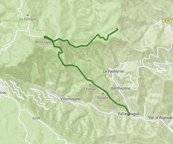
This hiking trail covers 18.562mi starting from Bréau-Mars, Gard. The hike does not return to the trailhead and ends near 840 Chemin Des Faysses, 30120 Mandagout, France. This hike is rated as strenuous, plan for about 8h24m to complete it. The route has an elevation gain of 6447ft and an elevation loss of 5459ft.
cévennes
Route details
2.21mph
Speed
3915 kcal
Calories burned
12.1%
Avg grade
Point to point
Route type
1178ft
Min altitude
4278ft
Max altitude
Steep climb
Route profile
6447ft
Elevation gain
5459ft
Elevation loss
1178ft
Min altitude
4278ft
Max altitude
How to get there
Trailhead: D 272a, 30120 Bréau-Mars, France
GPS coordinates of the trailhead: 43.989493, 3.572954 / 43°59'22'' N, 3°34'22'' E