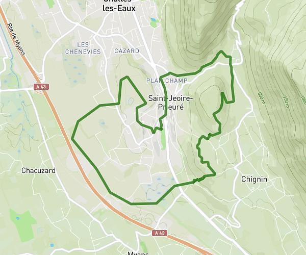
This running route covers 4.518mi starting from Barraux, Isère. The run is a loop trail and returns to the trailhead. This run is rated as easy, expect about 50m to complete it. The route has an elevation gain of 791ft and an elevation loss of 804ft.
Fort Barraux, chemin 2
Route details
5.42mph
Speed
572 kcal
Calories burned
Loop trail
Route type
827ft
Min altitude
1198ft
Max altitude
Route profile
791ft
Elevation gain
804ft
Elevation loss
827ft
Min altitude
1198ft
Max altitude
How to get there
Trailhead: 52 Chemin De La Biola, 38530 Barraux, France
GPS coordinates of the trailhead: 45.43645, 5.99942 / 45°26'11'' N, 5°59'57'' E