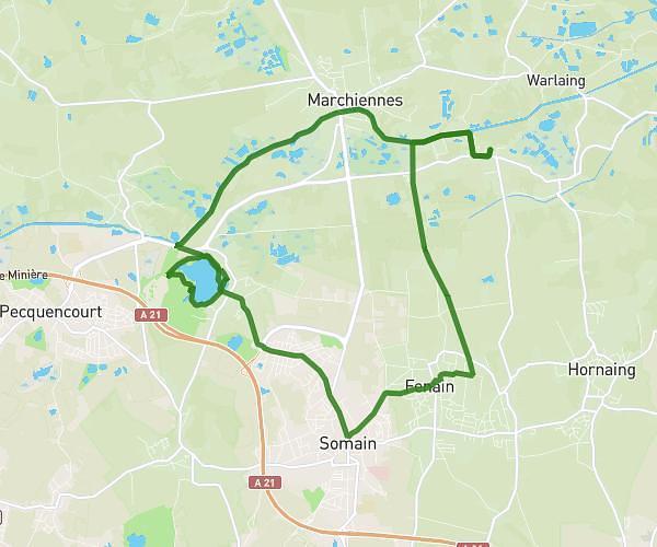
This hiking trail covers 2.051mi starting from Saint-Amand-les-Eaux, Nord. The hike is a loop trail and returns to the trailhead. This hike is rated as easy, plan for about 36m to complete it. The route has an elevation gain of 79ft and an elevation loss of 79ft.
marche nordique 1
Route details
3.42mph
Speed
255 kcal
Calories burned
1.5%
Avg grade
Loop trail
Route type
46ft
Min altitude
69ft
Max altitude
Route profile
79ft
Elevation gain
79ft
Elevation loss
46ft
Min altitude
69ft
Max altitude
How to get there
Trailhead: Rue Des Fèves, 59230 Saint-Amand-les-Eaux
GPS coordinates of the trailhead: 50.45189, 3.42475 / 50°27'6'' N, 3°25'29'' E