MapPlanner
3.512mi
Distance
59m23s
Duration
16:55/mi
Pace
Moderate
Level

May 03/24

Route details

16:55/mi
Pace
242 kcal
Calories burned
Loop trail
Route type
814ft
Min altitude
846ft
Max altitude

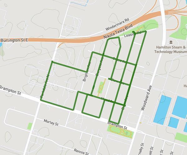
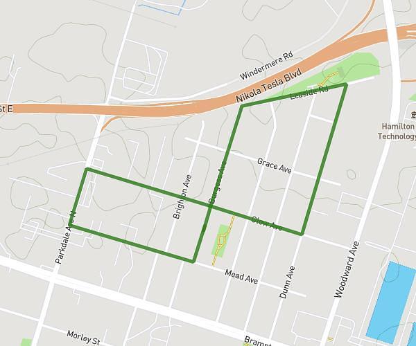
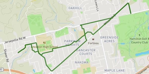
This walking route covers 3.512mi starting from Ancaster, Ontario. The walk is a loop trail and returns to the trailhead. This walk is rated as moderate, plan for about 59m23s to complete it. The route has an elevation gain of 154ft and an elevation loss of 154ft.

Description of the route by the creator

Alone Sad Got some chips at Dollarama and vibed out W

Route profile

154ft
Elevation gain
154ft
Elevation loss
814ft
Min altitude
846ft
Max altitude

How to get there

Trailhead: Valmont Street, L9G 4Z9 Ancaster

GPS coordinates of the trailhead: 43.21243, -80.01283 / 43°12'44'' N, 80°0'46'' W

Caution: May Cross Private Property

This route may pass through or near private property. Always respect posted signs, obtain permission where required, and follow local trespassing laws. MapPlanner does not guarantee public access along any route.

Safety Notice

Trail and road conditions may change without notice due to weather, construction, or other factors. Always verify current conditions before heading out. You are responsible for your own safety — follow local signage, obey traffic laws, and use your best judgment on the trail.