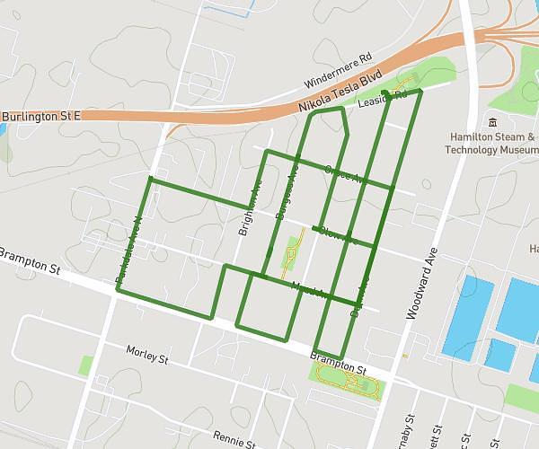
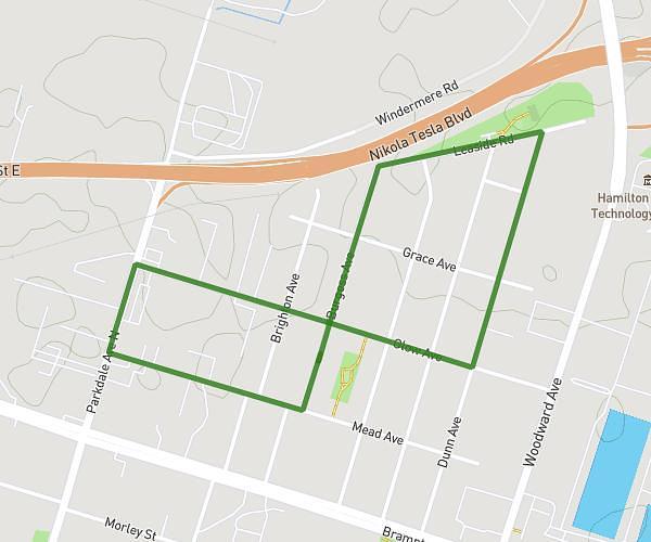
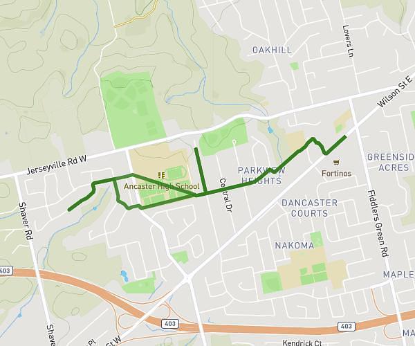
This walking route covers 5.543mi starting from Ancaster, Ontario. The walk is a loop trail and returns to the trailhead. This walk is rated as hard, plan for about 1h35m to complete it. The route has an elevation gain of 207ft and an elevation loss of 210ft.
May 25/24
Route details
17:09/mi
Pace
388 kcal
Calories burned
Loop trail
Route type
804ft
Min altitude
846ft
Max altitude
Route profile
207ft
Elevation gain
210ft
Elevation loss
804ft
Min altitude
846ft
Max altitude
How to get there
Trailhead: 131 Valmont Street, Ancaster, Ontario L9G 4Z9, Canada
GPS coordinates of the trailhead: 43.21244, -80.01288 / 43°12'44'' N, 80°0'46'' W