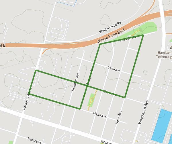
This walking route covers 4.067mi starting from Hamilton, Ontario. The walk is a loop trail and returns to the trailhead. This walk is rated as moderate, plan for about 1h27m to complete it. The route has an elevation gain of 213ft and an elevation loss of 213ft.
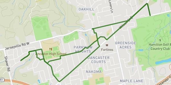
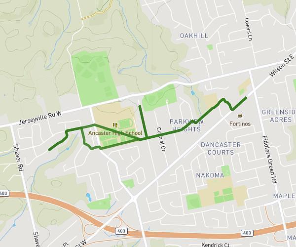
Full neighborhood
Route details
21:25/mi
Pace
355 kcal
Calories burned
Loop trail
Route type
246ft
Min altitude
295ft
Max altitude
Route profile
213ft
Elevation gain
213ft
Elevation loss
246ft
Min altitude
295ft
Max altitude
How to get there
Trailhead: 677 Burgess Avenue, Hamilton, Ontario L8H 6J2, Canada
GPS coordinates of the trailhead: 43.25342, -79.77995 / 43°15'12'' N, 79°46'47'' W