MapPlanner
4.137mi
Distance
1h10m
Duration
16:55/mi
Pace
Moderate
Level

May 05/24

Slight incline hill
Slight incline hill

Route details

16:55/mi
Pace
286 kcal
Calories burned
Loop trail
Route type
748ft
Min altitude
853ft
Max altitude

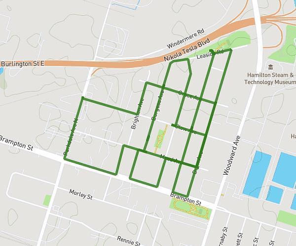
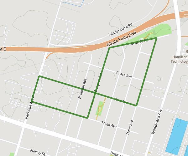
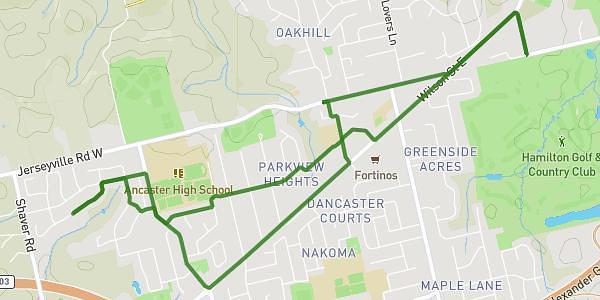
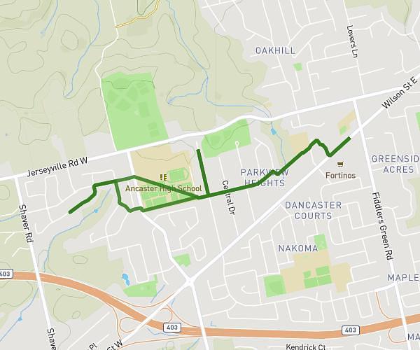
This walking route covers 4.137mi starting from Ancaster, Ontario. The walk is a loop trail and returns to the trailhead. This walk is rated as moderate, plan for about 1h10m to complete it. The route has an elevation gain of 308ft and an elevation loss of 308ft.

Description of the route by the creator

Shared with company Talked about life L+W

Route profile

308ft
Elevation gain
308ft
Elevation loss
748ft
Min altitude
853ft
Max altitude

How to get there

Trailhead: 135 Valmont Street, Ancaster, Ontario L9G 4Z9, Canada

GPS coordinates of the trailhead: 43.21236, -80.01303 / 43°12'44'' N, 80°0'46'' W

Caution: May Cross Private Property

This route may pass through or near private property. Always respect posted signs, obtain permission where required, and follow local trespassing laws. MapPlanner does not guarantee public access along any route.

Safety Notice

Trail and road conditions may change without notice due to weather, construction, or other factors. Always verify current conditions before heading out. You are responsible for your own safety — follow local signage, obey traffic laws, and use your best judgment on the trail.