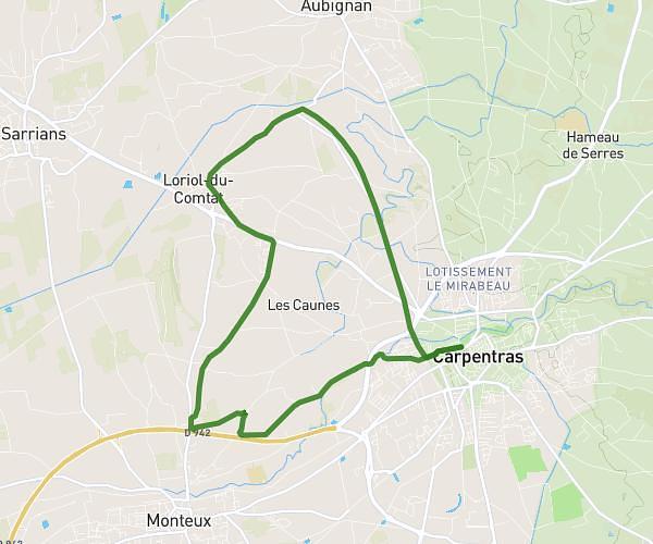
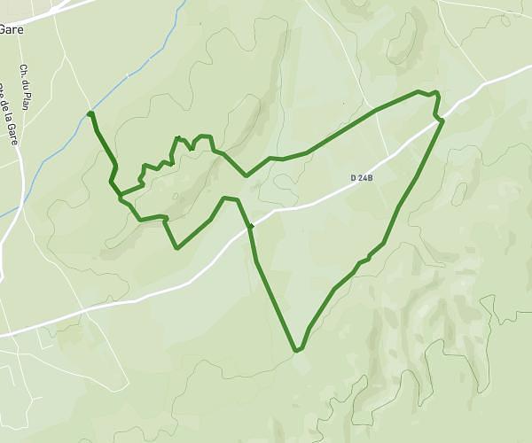
This running route covers 2.872mi starting from Avignon, Vaucluse. The run is a loop trail and returns to the trailhead. This run is rated as easy, expect about 55m27s to complete it. The route has an elevation gain of 36ft and an elevation loss of 36ft.
palais de papes
Route details
3.11mph
Speed
634 kcal
Calories burned
Loop trail
Route type
66ft
Min altitude
102ft
Max altitude
Route profile
36ft
Elevation gain
36ft
Elevation loss
66ft
Min altitude
102ft
Max altitude
How to get there
Trailhead: Avenue De L'arrousaire, 84000 Avignon
GPS coordinates of the trailhead: 43.93655, 4.81543 / 43°56'11'' N, 4°48'55'' E