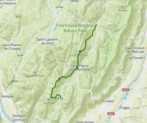
This running route covers 3.071mi starting from Échirolles, Isère. The run is a loop trail and returns to the trailhead. This run is rated as easy, expect about 33m to complete it. The route has an elevation gain of 295ft and an elevation loss of 292ft.
WA-BA
Route details
5.59mph
Speed
377 kcal
Calories burned
Loop trail
Route type
741ft
Min altitude
860ft
Max altitude
Route profile
295ft
Elevation gain
292ft
Elevation loss
741ft
Min altitude
860ft
Max altitude
How to get there
Trailhead: 21 Avenue De Grugliasco, 38130 Échirolles, France
GPS coordinates of the trailhead: 45.14976, 5.71901 / 45°8'59'' N, 5°43'8'' E