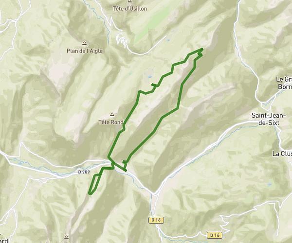
This hiking trail covers 3.938mi starting from Saint-Jeoire, Haute-Savoie. The hike is a loop trail and returns to the trailhead. This hike is rated as strenuous, plan for about 2h6m to complete it. The route has an elevation gain of 1949ft and an elevation loss of 1949ft.
Essai Saint Jeoir Bella
Route details
1.87mph
Speed
1022 kcal
Calories burned
18.7%
Avg grade
Loop trail
Route type
1929ft
Min altitude
3737ft
Max altitude
Steep climb
Route profile
1949ft
Elevation gain
1949ft
Elevation loss
1929ft
Min altitude
3737ft
Max altitude
How to get there
Trailhead: Montée De Beauregard, 74490 Saint-Jeoire
GPS coordinates of the trailhead: 46.14084, 6.45599 / 46°8'27'' N, 6°27'21'' E