This running route covers 10.534mi starting from Pleubian, Côtes-d'Armor. The run does not return to the trailhead and ends near Quai Des Goémoniers, 22450 La Roche-Jaudy. This run is rated as hard, expect about 1h12m to complete it. The route has an elevation gain of 535ft and an elevation loss of 528ft.
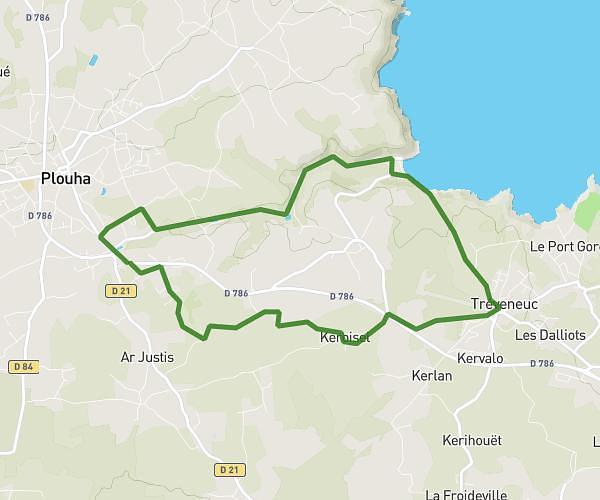
Moby'dick J1 plouha Pouldouran
Route details
8.7mph
Speed
831 kcal
Calories burned
Point to point
Route type
7ft
Min altitude
220ft
Max altitude
Route profile
535ft
Elevation gain
528ft
Elevation loss
7ft
Min altitude
220ft
Max altitude
How to get there
Trailhead: Rue Du Sillon De Talbert, 22610 Pleubian
GPS coordinates of the trailhead: 48.86695, -3.10189 / 48°52'1'' N, 3°6'6'' W