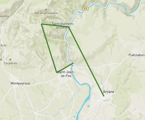
This running route covers 6.25mi starting from Lodève, Hérault. The run is a loop trail and returns to the trailhead. This run is rated as moderate, expect about 1h20s to complete it. The route has an elevation gain of 1171ft and an elevation loss of 1171ft.
10 kms labeyran
Route details
6.21mph
Speed
690 kcal
Calories burned
Loop trail
Route type
577ft
Min altitude
1332ft
Max altitude
Route profile
1171ft
Elevation gain
1171ft
Elevation loss
577ft
Min altitude
1332ft
Max altitude
How to get there
Trailhead: 248 Boulevard Du Général Leclerc, 34700 Lodève, France
GPS coordinates of the trailhead: 43.73384, 3.31588 / 43°44'1'' N, 3°18'57'' E