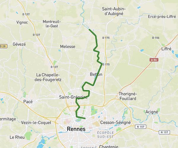
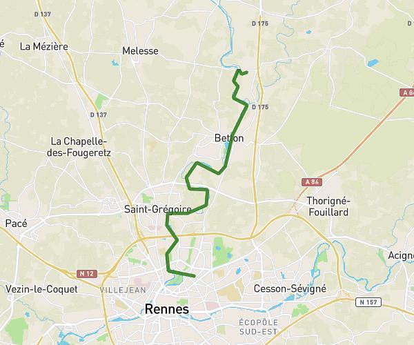
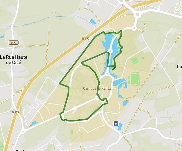
This hiking trail covers 5.024mi starting from Noyal-Châtillon-sur-Seiche, Ille-et-Vilaine. The hike is a loop trail and returns to the trailhead. This hike is rated as easy, plan for about 1h10m to complete it. The route has an elevation gain of 210ft and an elevation loss of 200ft.
Saint erblon exercices
Route details
4.31mph
Speed
496 kcal
Calories burned
1.5%
Avg grade
Loop trail
Route type
66ft
Min altitude
115ft
Max altitude
Route profile
210ft
Elevation gain
200ft
Elevation loss
66ft
Min altitude
115ft
Max altitude
How to get there
Trailhead: Rue De Rennes, 35230 Noyal-Châtillon-sur-Seiche
GPS coordinates of the trailhead: 48.03928, -1.66652 / 48°2'21'' N, 1°39'59'' W