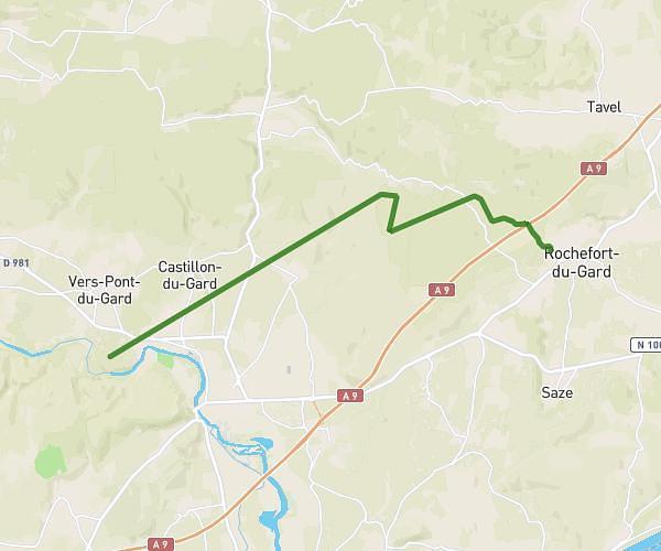
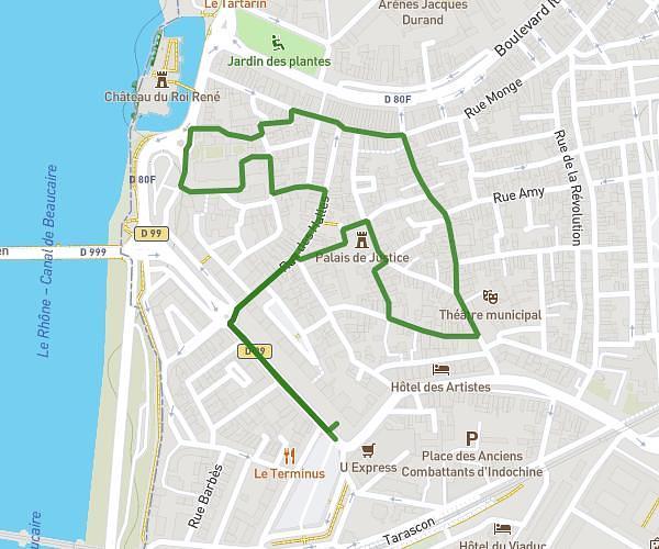
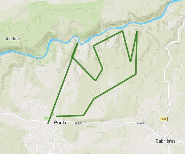
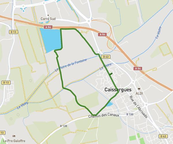
This hiking trail covers 107.383mi starting from Nîmes, Gard. The hike does not return to the trailhead and ends near 72 Boulevard Talabot, 30100 Alès, France. This hike is rated as strenuous, plan for about to complete it. The route has an elevation gain of 16401ft and an elevation loss of 16161ft.
AIGUAL 2
Route details
1.86mph
Speed
5.7%
Avg grade
Point to point
Route type
200ft
Min altitude
4459ft
Max altitude
Route profile
16401ft
Elevation gain
16161ft
Elevation loss
200ft
Min altitude
4459ft
Max altitude
How to get there
Trailhead: 89 Allée Du Clos Des Pins, 30000 Nîmes, France
GPS coordinates of the trailhead: 43.841023, 4.342411 / 43°50'27'' N, 4°20'32'' E