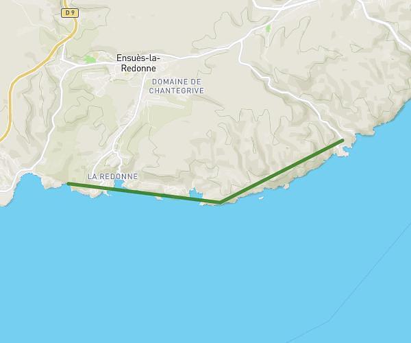
This hiking trail covers 1.241mi starting from Tarascon, Bouches-du-Rhône. The hike is a loop trail and returns to the trailhead. This hike is rated as easy, plan for about 23m to complete it. The route has an elevation gain of 85ft and an elevation loss of 82ft.
deambulation
Route details
3.24mph
Speed
164 kcal
Calories burned
2.6%
Avg grade
Loop trail
Route type
33ft
Min altitude
56ft
Max altitude
Route profile
85ft
Elevation gain
82ft
Elevation loss
33ft
Min altitude
56ft
Max altitude
How to get there
Trailhead: Cours Aristide Briand, 13150 Tarascon
GPS coordinates of the trailhead: 43.8028, 4.65768 / 43°48'10'' N, 4°39'27'' E