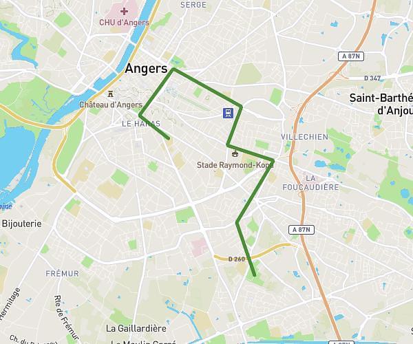
This hiking trail covers 23.391mi starting from Angers, Maine-et-Loire. The hike does not return to the trailhead and ends near 2 Rue Charles De Gaulle, 49130 Les Ponts-de-Cé, France. This hike is rated as hard, plan for about 4m to complete it. The route has an elevation gain of 1230ft and an elevation loss of 1296ft.
Angers maitre école
Route details
350.86mph
Speed
28 kcal
Calories burned
2.0%
Avg grade
Point to point
Route type
46ft
Min altitude
266ft
Max altitude
Route profile
1230ft
Elevation gain
1296ft
Elevation loss
46ft
Min altitude
266ft
Max altitude
How to get there
Trailhead: 21 Rue Saumuroise, 49000 Angers, France
GPS coordinates of the trailhead: 47.459706, -0.536601 / 47°27'34'' N, 0°32'11'' W