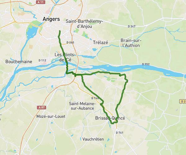
This hiking trail covers 7.959mi starting from Verrières-en-Anjou, Maine-et-Loire. The hike does not return to the trailhead and ends near 3 Rue De La Plage, 49125 Briollay, France. This hike is rated as moderate, plan for about 2h38m to complete it. The route has an elevation gain of 397ft and an elevation loss of 423ft.
Le Ponts aux filles / Birollay
Route details
3.01mph
Speed
1130 kcal
Calories burned
2.0%
Avg grade
Point to point
Route type
33ft
Min altitude
102ft
Max altitude
Route profile
397ft
Elevation gain
423ft
Elevation loss
33ft
Min altitude
102ft
Max altitude
How to get there
Trailhead: 14 Route Des Sablières, 49480 Verrières-en-Anjou, France
GPS coordinates of the trailhead: 47.51362, -0.5121 / 47°30'49'' N, 0°30'43'' W