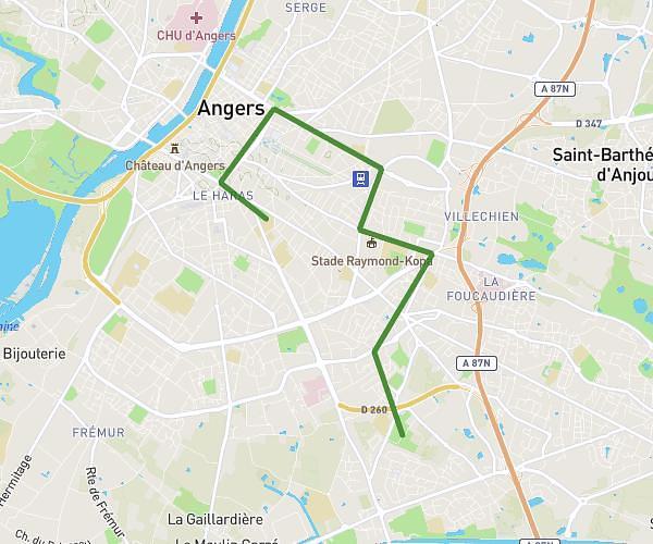
This hiking trail covers 1.735mi starting from Angers, Maine-et-Loire. The hike is a loop trail and returns to the trailhead. This hike is rated as easy, plan for about 41m53s to complete it. The route has an elevation gain of 174ft and an elevation loss of 174ft.
BALADE AUTOUR DU CHATEAU DES FORGES
Route details
2.49mph
Speed
302 kcal
Calories burned
3.8%
Avg grade
Loop trail
Route type
43ft
Min altitude
177ft
Max altitude
Route profile
174ft
Elevation gain
174ft
Elevation loss
43ft
Min altitude
177ft
Max altitude
How to get there
Trailhead: 9001 Chemin Du Port De L'île, 49100 Angers, France
GPS coordinates of the trailhead: 47.501552, -0.563743 / 47°30'5'' N, 0°33'49'' W