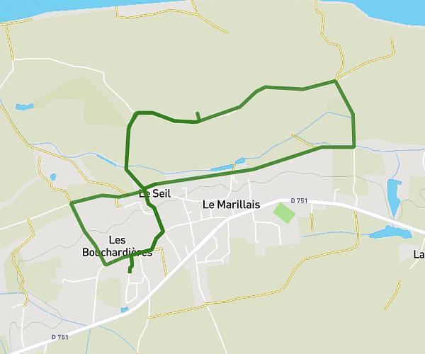
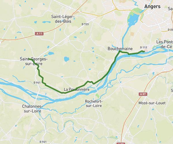
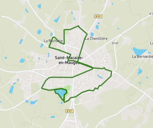
This running route covers 17.105mi starting from Mauges-sur-Loire, Maine-et-Loire. The run is a loop trail and returns to the trailhead. This run is rated as strenuous, expect about 3h to complete it. The route has an elevation gain of 525ft and an elevation loss of 515ft.
Prepa marathon
Route details
5.7mph
Speed
2058 kcal
Calories burned
Loop trail
Route type
33ft
Min altitude
315ft
Max altitude
Route profile
525ft
Elevation gain
515ft
Elevation loss
33ft
Min altitude
315ft
Max altitude
How to get there
Trailhead: D 15, 49620 Mauges-sur-Loire
GPS coordinates of the trailhead: 47.34708, -0.85527 / 47°20'49'' N, 0°51'18'' W