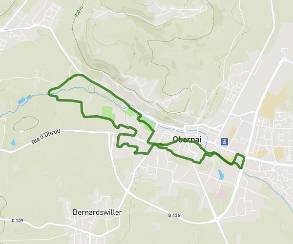
This running route covers 0.293mi starting from Ottrott, Bas-Rhin. The run does not return to the trailhead and ends near Avenue Rathsamhausen, 67530 Ottrott. This run is rated as easy, expect about 3m to complete it. The route has an elevation gain of 102ft and an elevation loss of 7ft.
ZAC
Route details
5.87mph
Speed
34 kcal
Calories burned
Point to point
Route type
1027ft
Min altitude
1122ft
Max altitude
Route profile
102ft
Elevation gain
7ft
Elevation loss
1027ft
Min altitude
1122ft
Max altitude
How to get there
Trailhead: Rue Lerchenberg, 67530 Ottrott
GPS coordinates of the trailhead: 48.46643, 7.41304 / 48°27'59'' N, 7°24'46'' E