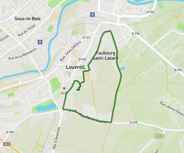
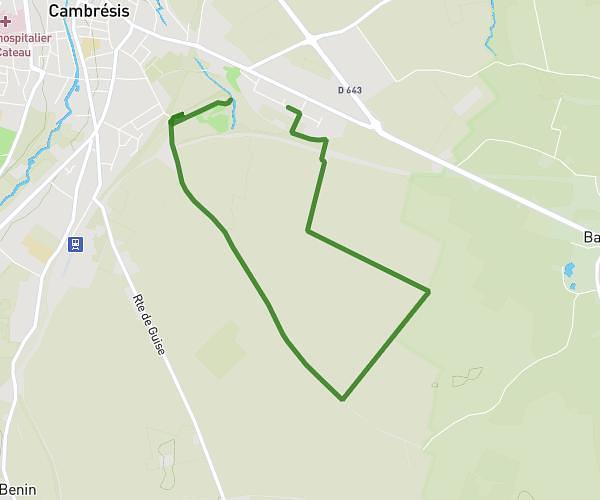
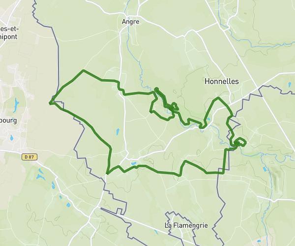
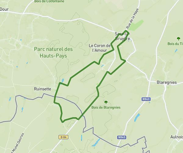
This hiking trail covers 5.049mi starting from Grand-Fayt, Nord. The hike does not return to the trailhead and ends near Chemin Herbu, 59244 Grand-Fayt, France. This hike is rated as easy, plan for about 1h21m to complete it. The route has an elevation gain of 269ft and an elevation loss of 262ft.
Grand Fayt
Route details
3.73mph
Speed
578 kcal
Calories burned
2.0%
Avg grade
Point to point
Route type
456ft
Min altitude
627ft
Max altitude
Route profile
269ft
Elevation gain
262ft
Elevation loss
456ft
Min altitude
627ft
Max altitude
How to get there
Trailhead: 12 Rue Du Moulin, 59244 Grand-Fayt, France
GPS coordinates of the trailhead: 50.11267, 3.80376 / 50°6'45'' N, 3°48'13'' E