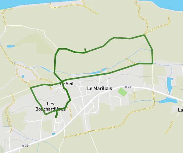
This running route covers 7.764mi starting from Mauges-sur-Loire, Maine-et-Loire. The run is a loop trail and returns to the trailhead. This run is rated as hard, expect about 1h14m to complete it. The route has an elevation gain of 344ft and an elevation loss of 344ft.
BOITAULT
Route details
31.58mph
Speed
855 kcal
Calories burned
Loop trail
Route type
26ft
Min altitude
102ft
Max altitude
Route profile
344ft
Elevation gain
344ft
Elevation loss
26ft
Min altitude
102ft
Max altitude
How to get there
Trailhead: 1 Rue Du Couvent, 49410 Mauges-sur-Loire, France
GPS coordinates of the trailhead: 47.36353, -1.0131 / 47°21'48'' N, 1°0'47'' W