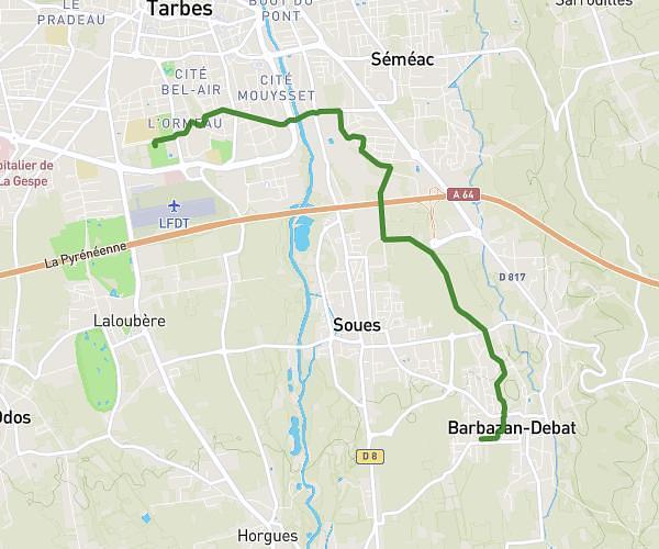
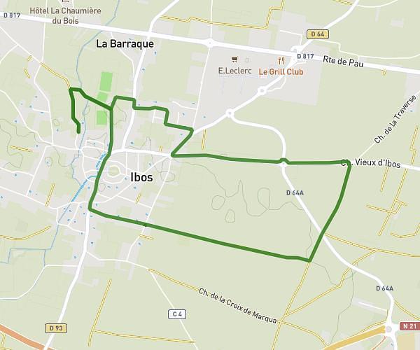
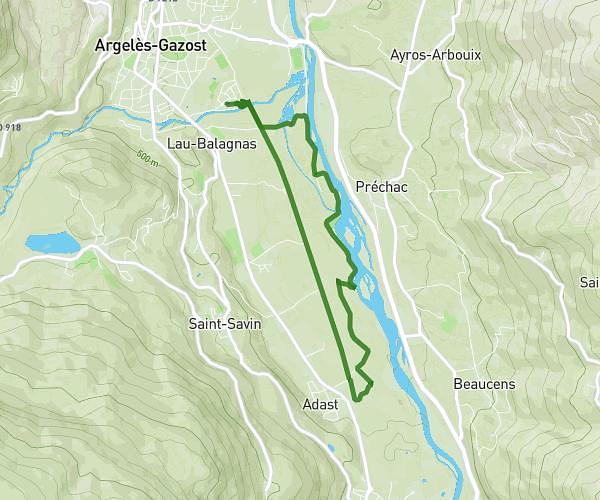
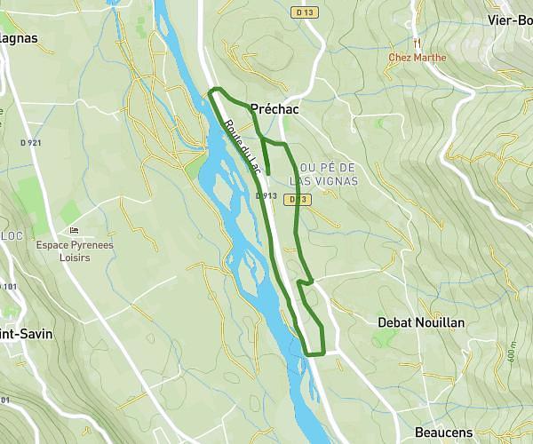
This running route covers 14.662mi starting from Lourdes, Hautes-Pyrénées. The run is a loop trail and returns to the trailhead. This run is rated as strenuous, expect about 5h2s to complete it. The route has an elevation gain of 1473ft and an elevation loss of 1503ft.
Beout Jer
Route details
2.93mph
Speed
3430 kcal
Calories burned
Loop trail
Route type
1266ft
Min altitude
2464ft
Max altitude
Route profile
1473ft
Elevation gain
1503ft
Elevation loss
1266ft
Min altitude
2464ft
Max altitude
How to get there
Trailhead: Esplanade Du Paradis, 65100 Lourdes
GPS coordinates of the trailhead: 43.09045, -0.0545 / 43°5'25'' N, 0°3'16'' W