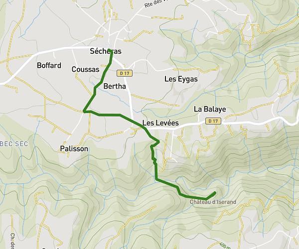
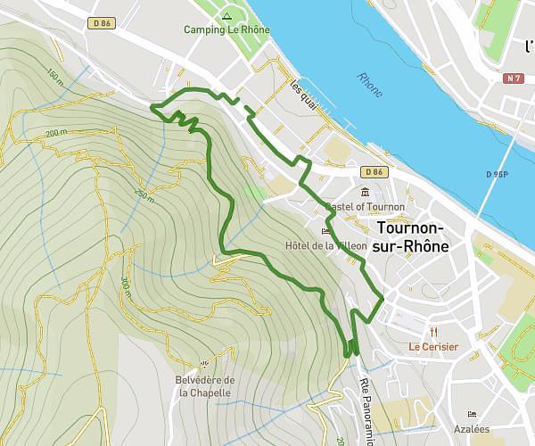
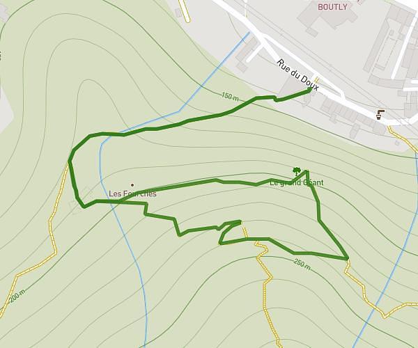
This hiking trail covers 2.164mi starting from Pont-de-l'Isère, Drôme. The hike is a loop trail and returns to the trailhead. This hike is rated as easy, plan for about 44m to complete it. The route has an elevation gain of 89ft and an elevation loss of 92ft.
rando 1
Route details
2.95mph
Speed
312 kcal
Calories burned
1.6%
Avg grade
Loop trail
Route type
367ft
Min altitude
394ft
Max altitude
Route profile
89ft
Elevation gain
92ft
Elevation loss
367ft
Min altitude
394ft
Max altitude
How to get there
Trailhead: 10 Rue De La Cité, 26600 Pont-de-l'Isère, France
GPS coordinates of the trailhead: 45.003401, 4.866412 / 45°0'12'' N, 4°51'59'' E