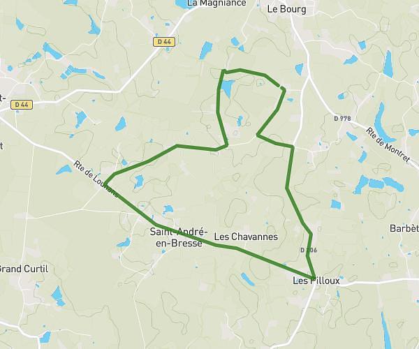
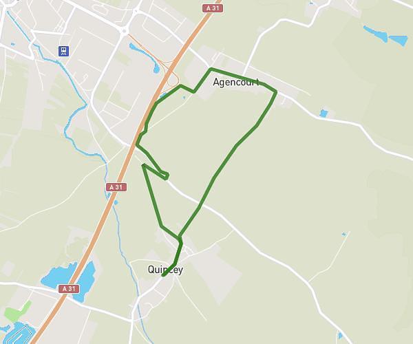
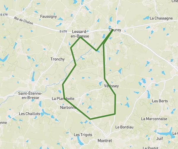
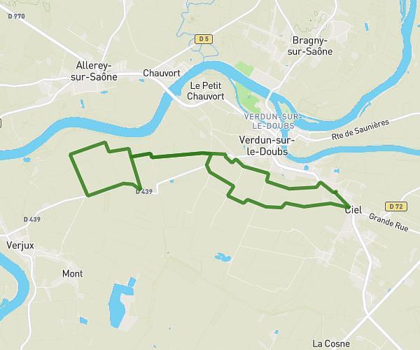
This running route covers 17.413mi starting from Ciel, Saône-et-Loire. The run is a loop trail and returns to the trailhead. This run is rated as strenuous, expect about 4h12s to complete it. The route has an elevation gain of 636ft and an elevation loss of 636ft.
31/05/2026
Route details
4.35mph
Speed
2746 kcal
Calories burned
Loop trail
Route type
561ft
Min altitude
646ft
Max altitude
Route profile
636ft
Elevation gain
636ft
Elevation loss
561ft
Min altitude
646ft
Max altitude
How to get there
Trailhead: 28 Route De Verdun, 71350 Ciel, France
GPS coordinates of the trailhead: 46.887066, 5.037751 / 46°53'13'' N, 5°2'15'' E