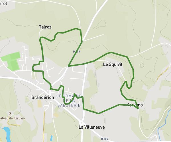
This running route covers 8.215mi starting from Lanester, Morbihan. The run does not return to the trailhead and ends near 27 Rue Jean Jaurès, 56600 Lanester, France. This run is rated as hard, expect about 1h28m to complete it. The route has an elevation gain of 748ft and an elevation loss of 781ft.
Le Roze
Route details
5.6mph
Speed
1006 kcal
Calories burned
Point to point
Route type
-3ft
Min altitude
138ft
Max altitude
Route profile
748ft
Elevation gain
781ft
Elevation loss
-3ft
Min altitude
138ft
Max altitude
How to get there
Trailhead: 23 Rue Jean Le Vaillant, 56600 Lanester, France
GPS coordinates of the trailhead: 47.765268, -3.355366 / 47°45'54'' N, 3°21'19'' W